Transport Functions
Multimodal
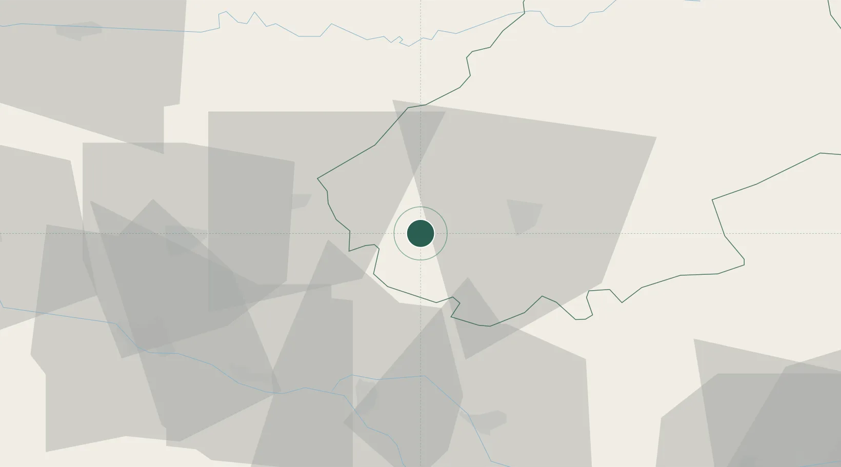
Hub Profile
Place type
Populated place
Region
Occitanie
Population
160
Time zone
Europe/Paris
Elevation
206 m
Location
Nearby Logistics Neighbours
Cities
- 1Carnac-Rouffiac1 km
- 2Sauzet3 km
- 3Le Boulvé4 km
- 4Grézels7 km
- 5Barguelonne-en-Quercy8 km
Ports
- 1Bordeaux150 km
- 2Ambes154 km
- 3Blaye169 km
- 4Pauillac178 km
- 5Port-La-Nouvelle215 km
Airports
Trade Zones
- 1ZFU Toulouse92 km
- 2Port de Bordeaux149 km
- 3ZFU Hauts de Garonne149 km
- 4ZFU Béziers200 km
- 5ZFU Clermont-Ferrand211 km
DatabookThe Record of Consolidated Knowledge
France beyond logistics?