Transport Functions
Multimodal
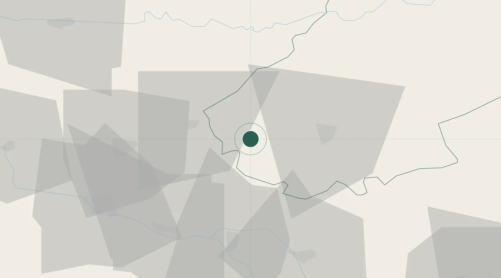
Hub Profile
Place type
Populated place
Region
Occitanie
Population
194
Time zone
Europe/Paris
Elevation
153 m
Location
Nearby Logistics Neighbours
Cities
- 1Floressas3 km
- 2Grézels4 km
- 3Fargues4 km
- 4Carnac-Rouffiac6 km
- 5Sauzet7 km
Airports
Trade Zones
- 1ZFU Toulouse95 km
- 2Port de Bordeaux145 km
- 3ZFU Hauts de Garonne145 km
- 4ZFU Béziers205 km
- 5ZFU Clermont-Ferrand213 km
DatabookThe Record of Consolidated Knowledge
France beyond logistics?