UN/LOCODE hub · France
FRBKX

Barguelonne-en-Quercy

44.3500°, 1.2333°
1
Transport functions

Transport Functions

Multimodal
UN/LOCODE

Hub Profile

Region
46
GeoNames

Location

Location of FRBKX
Natural Earth 10m (public domain) · 46 · FRBKX · 44.35, 1.23GoogleOSMYandex

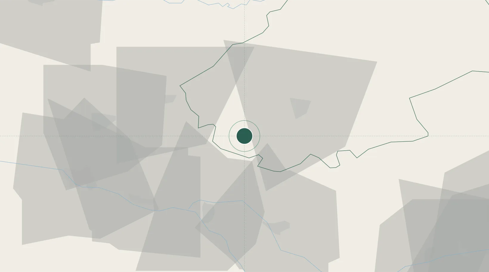
Nearby Logistics Neighbours

Cities
  1. 1Belmontet7 km
  2. 2Carnac-Rouffiac7 km
  3. 3Fargues8 km
  4. 4Sauzet8 km
  5. 5Le Boulvé11 km
Nearest neighbours — logibook spatial index (haversine) over the source coordinates
Ports
  1. 1Bordeaux154 km
  2. 2Ambes158 km
  3. 3Blaye174 km
  4. 4Pauillac183 km
  5. 5Port-La-Nouvelle209 km
Nearest neighbours — logibook spatial index (haversine) over the source coordinates
Airports
  1. 1Cahors Lalbenque airport19 km
  2. 2Agen La Garenne airport55 km
  3. 3Bergerac Dordogne-Périgord airport77 km
  4. 4Brive Souillac airport79 km
  5. 5Toulouse-Blagnac Airport81 km
Nearest neighbours — logibook spatial index (haversine) over the source coordinates
Trade Zones
  1. 1ZFU Toulouse85 km
  2. 2ZFU Hauts de Garonne153 km
  3. 3Port de Bordeaux153 km
  4. 4ZFU Béziers195 km
  5. 5ZFU Clermont-Ferrand216 km
Nearest neighbours — logibook spatial index (haversine) over the source coordinates
DatabookThe Record of Consolidated Knowledge
France beyond logistics?
Browse databook

All Sources

LocationsUN/LOCODE
UN/LOCODE — free
Portsthe NGA World Port Index
Public domain (US gov)
AirportsOurAirports
Public domain
Trade Zonesthe World Bank SEZ database
CC BY 4.0
Trade ZonesOpen Zone Map
CC BY
← France locations