Transport Functions
Road
Multimodal
Hub Profile
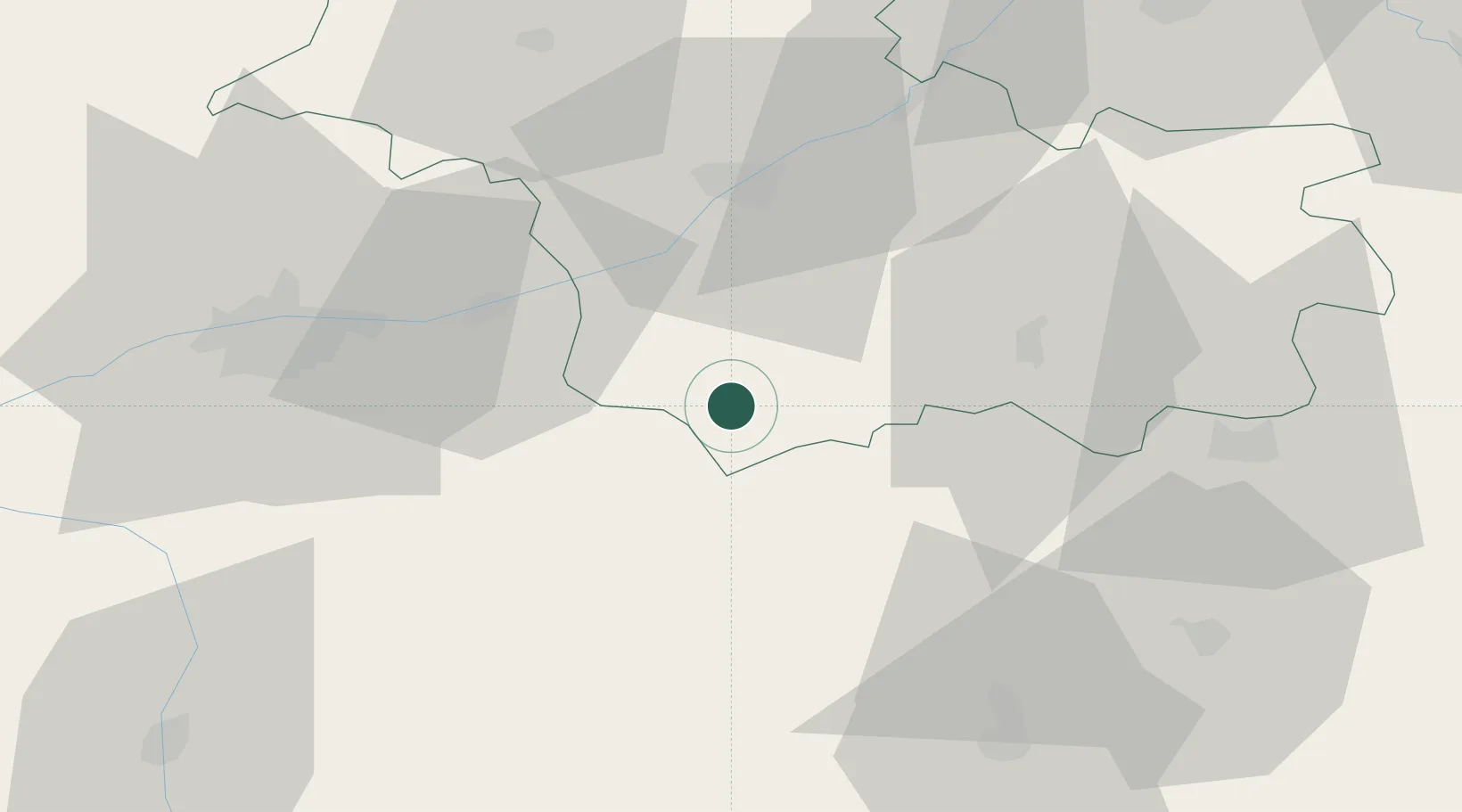
Place type
Populated place
Region
Centre-Val de Loire
Population
1,072
Time zone
Europe/Paris
Elevation
69 m
Location
Nearby Logistics Neighbours
Cities
- 1Noyers-sur-Cher5 km
- 2Pouillé5 km
- 3Seigy8 km
- 4Monthou-sur-Cher8 km
- 5Châteauvieux8 km
Ports
- 1Nantes219 km
- 2Tonnay Charente227 km
- 3La Rochelle227 km
- 4Rochefort230 km
- 5La Pallice231 km
Airports
- 1Tours Val de Loire Airport49 km
- 2Châteauroux Déols airport56 km
- 3Bourges airport82 km
- 4Orléans-Bricy (BA 123) Air Base85 km
- 5Châteaudun Airfield86 km
Trade Zones
- 1ZFU Blois34 km
- 2ZFU Orléans76 km
- 3ZFU Bourges79 km
- 4ZFU Le Mans119 km
- 5ZFU Angers147 km
DatabookThe Record of Consolidated Knowledge
France beyond logistics?