Transport Functions
Multimodal
Hub Profile
Place type
Populated place
Region
Pays de la Loire
Population
1,117
Time zone
Europe/Paris
Elevation
53 m
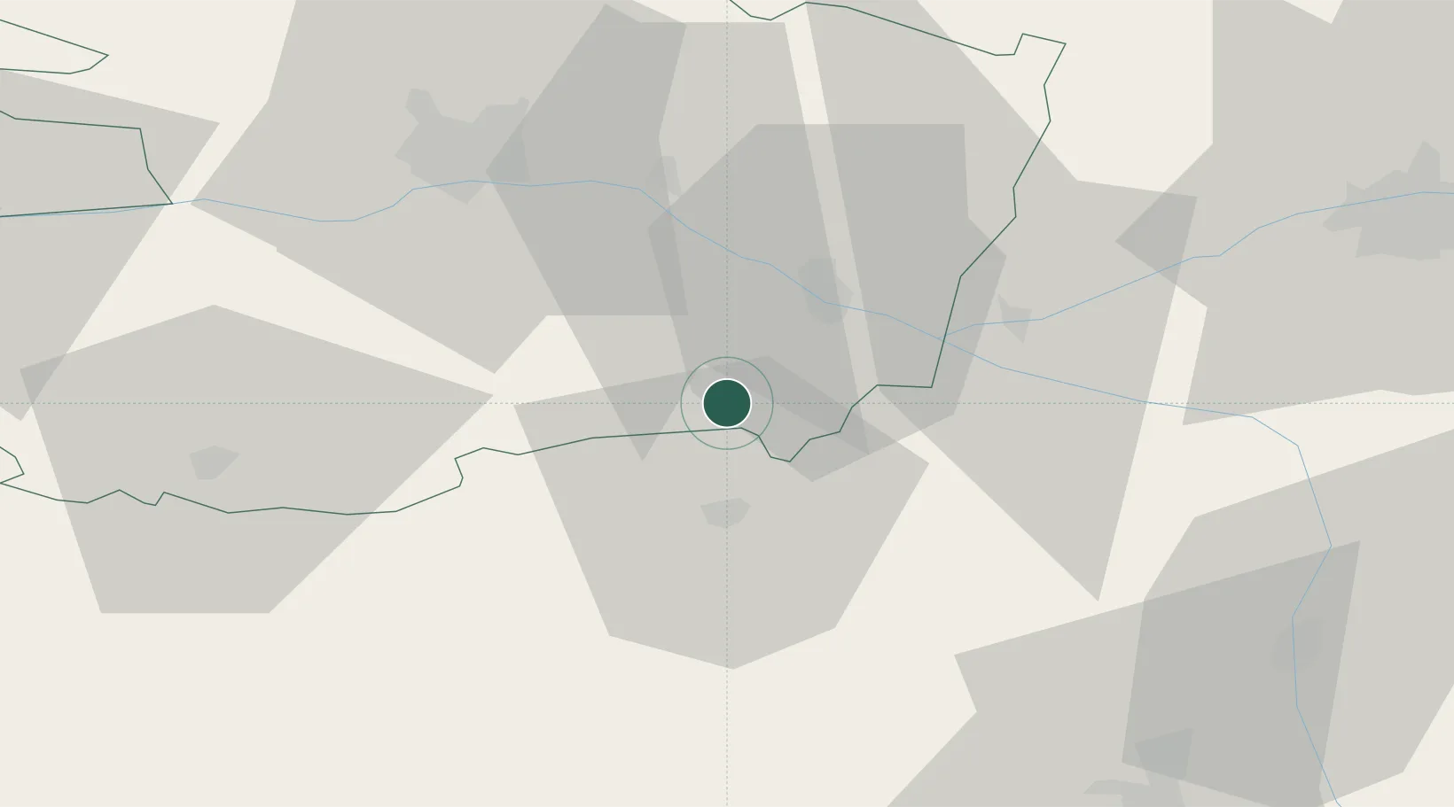
Location
Nearby Logistics Neighbours
Cities
- 1Le Puy-Notre-Dame3 km
- 2Montreuil-Bellay4 km
- 3Brossay4 km
- 4Messemé4 km
- 5Saint-Just-sur-Dive8 km
Ports
- 1Nantes104 km
- 2La Rochelle131 km
- 3La Pallice133 km
- 4Les Sables D' Olonne141 km
- 5Donges142 km
Airports
Trade Zones
- 1ZFU Angers49 km
- 2ZFU Le Mans98 km
- 3ZFU Nantes et Saint-Herblain114 km
- 4ZFU Blois121 km
- 5ZFU La Rochelle133 km
DatabookThe Record of Consolidated Knowledge
France beyond logistics?