UN/LOCODE hub · France
FRDND
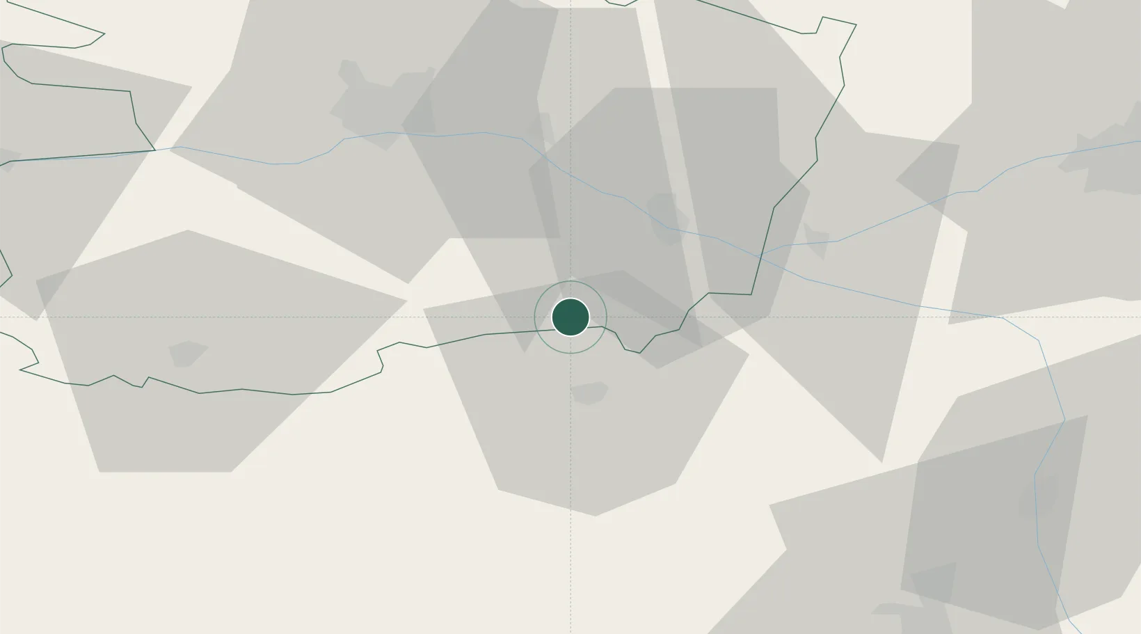
Le Puy-Notre-Dame
47.1167°, -0.2333°
1,326
Population
2
Transport functions
Transport Functions
Road
Multimodal
Hub Profile
Place type
Populated place
Region
Pays de la Loire
Population
1,326
Time zone
Europe/Paris
Elevation
92 m
Location
Nearby Logistics Neighbours
Cities
- 1Vaudelnay3 km
- 2Messemé4 km
- 3Brossay6 km
- 4Montreuil-Bellay7 km
- 5Concourson-sur-Layon11 km
Ports
- 1Nantes101 km
- 2La Rochelle128 km
- 3La Pallice130 km
- 4Les Sables D' Olonne138 km
- 5Donges140 km
Airports
Trade Zones
- 1ZFU Angers49 km
- 2ZFU Le Mans100 km
- 3ZFU Nantes et Saint-Herblain112 km
- 4ZFU Blois125 km
- 5ZFU La Rochelle130 km
DatabookThe Record of Consolidated Knowledge
France beyond logistics?