UN/LOCODE hub · France
FRMXE

Messemé

47.1500°, -0.2500°
1
Transport functions

Transport Functions

Multimodal
UN/LOCODE

Hub Profile

Place type
Populated place
GeoNames
Region
Pays de la Loire
GeoNames
Time zone
Europe/Paris
GeoNames
Elevation
67 m
GeoNames

Location

Location of FRMXE
Natural Earth 10m (public domain) · Pays de la Loire · FRMXE · 47.15, -0.25GoogleOSMYandex

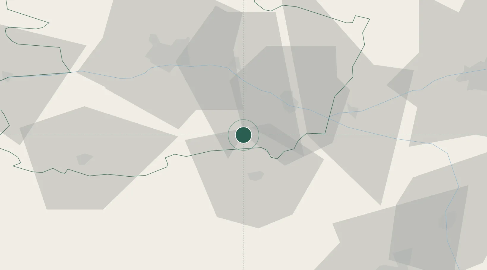
Nearby Logistics Neighbours

Cities
  1. 1Brossay3 km
  2. 2Le Puy-Notre-Dame4 km
  3. 3Vaudelnay4 km
  4. 4Concourson-sur-Layon7 km
  5. 5Montreuil-Bellay8 km
Nearest neighbours — logibook spatial index (haversine) over the source coordinates
Ports
  1. 1Nantes100 km
  2. 2La Rochelle131 km
  3. 3La Pallice132 km
  4. 4Donges138 km
  5. 5Les Sables D' Olonne138 km
Nearest neighbours — logibook spatial index (haversine) over the source coordinates
Airports
  1. 1Angers Marcé airport46 km
  2. 2Poitiers-Biard Airport76 km
  3. 3Tours Val de Loire Airport80 km
  4. 4Niort - Marais Poitevin Airport94 km
  5. 5Le Mans-Arnage Airport95 km
Nearest neighbours — logibook spatial index (haversine) over the source coordinates
Trade Zones
  1. 1ZFU Angers45 km
  2. 2ZFU Le Mans97 km
  3. 3ZFU Nantes et Saint-Herblain110 km
  4. 4ZFU Blois124 km
  5. 5ZFU La Rochelle132 km
Nearest neighbours — logibook spatial index (haversine) over the source coordinates
DatabookThe Record of Consolidated Knowledge
France beyond logistics?
Browse databook

All Sources

LocationsUN/LOCODE
UN/LOCODE — free
Portsthe NGA World Port Index
Public domain (US gov)
AirportsOurAirports
Public domain
Trade Zonesthe World Bank SEZ database
CC BY 4.0
Trade ZonesOpen Zone Map
CC BY
← France locations