Transport Functions
Multimodal
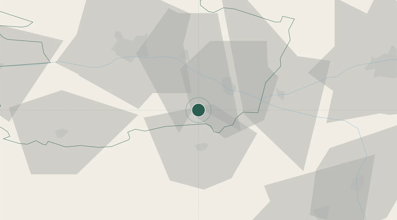
Hub Profile
Place type
Populated place
Region
Pays de la Loire
Population
271
Time zone
Europe/Paris
Elevation
74 m
Location
Nearby Logistics Neighbours
Cities
- 1Messemé3 km
- 2Vaudelnay4 km
- 3Meigné6 km
- 4Le Puy-Notre-Dame6 km
- 5Les Ulmes6 km
Ports
- 1Nantes102 km
- 2La Rochelle134 km
- 3La Pallice135 km
- 4Donges141 km
- 5Les Sables D' Olonne141 km
Airports
Trade Zones
- 1ZFU Angers45 km
- 2ZFU Le Mans94 km
- 3ZFU Nantes et Saint-Herblain112 km
- 4ZFU Blois121 km
- 5ZFU La Rochelle135 km
DatabookThe Record of Consolidated Knowledge
France beyond logistics?