UN/LOCODE hub · France
FRMQM
Sansac-de-Marmiesse
44.8833°, 2.3500°
1,114
Population
1
Transport functions
Transport Functions
Multimodal
Hub Profile
Place type
Populated place
Region
Rhône-Alpes
Population
1,114
Time zone
Europe/Paris
Elevation
593 m
Location
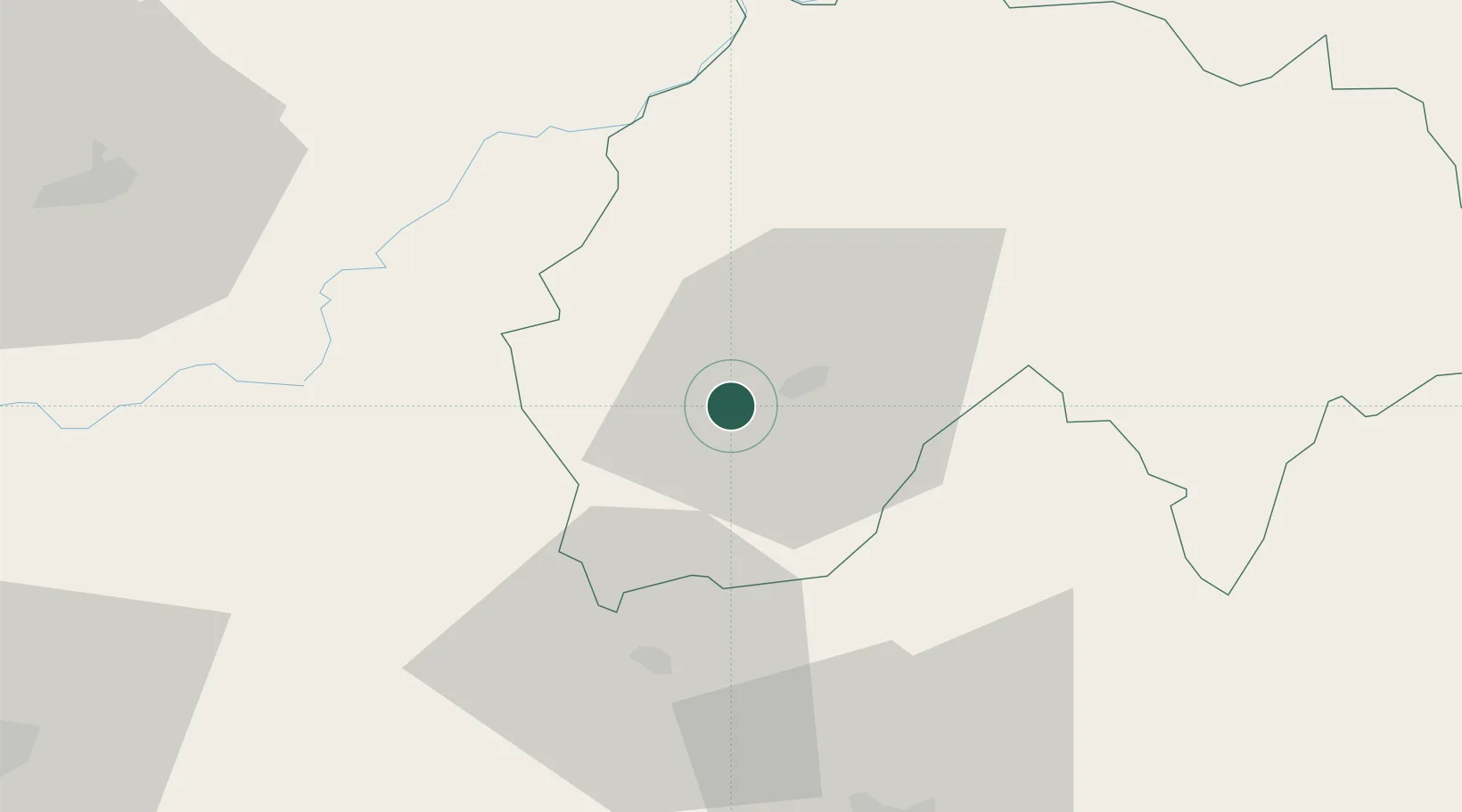
Nearby Logistics Neighbours
Cities
- 1Aurillac9 km
- 2Le Rouget10 km
- 3Laroquebrou15 km
- 4Bagnac-sur-Célé28 km
- 5Le Fel29 km
Ports
- 1Sete197 km
- 2Port-La-Nouvelle215 km
- 3Ambes227 km
- 4Bordeaux230 km
- 5Blaye239 km
Airports
- 1Aurillac airport6 km
- 2Rodez–Aveyron Airport54 km
- 3Brive Souillac airport70 km
- 4Cahors Lalbenque airport91 km
- 5Mende-Brenoux Airfield103 km
Trade Zones
- 1ZFU Clermont-Ferrand116 km
- 2ZFU Toulouse160 km
- 3ZFU Saint-Etienne164 km
- 4ZFU Montpellier186 km
- 5ZFU Béziers186 km
DatabookThe Record of Consolidated Knowledge
France beyond logistics?