Transport Functions
Rail
Road
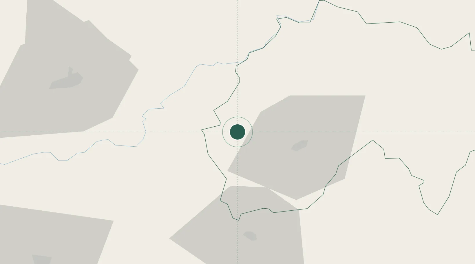
Hub Profile
Place type
Populated place
Region
Rhône-Alpes
Population
1,091
Time zone
Europe/Paris
Elevation
463 m
Location
Nearby Logistics Neighbours
Cities
- 1Le Rouget13 km
- 2Sansac-de-Marmiesse15 km
- 3Aurillac19 km
- 4Saint-Bonnet-Elvert32 km
- 5Bagnac-sur-Célé34 km
Ports
- 1Sete211 km
- 2Ambes215 km
- 3Bordeaux218 km
- 4Blaye226 km
- 5Port-La-Nouvelle228 km
Airports
- 1Aurillac airport19 km
- 2Brive Souillac airport57 km
- 3Rodez–Aveyron Airport66 km
- 4Cahors Lalbenque airport89 km
- 5Périgueux-Bassillac Airport112 km
Trade Zones
- 1ZFU Clermont-Ferrand114 km
- 2ZFU Toulouse163 km
- 3ZFU Saint-Etienne172 km
- 4ZFU Béziers199 km
- 5ZFU Montpellier200 km
DatabookThe Record of Consolidated Knowledge
France beyond logistics?