Transport Functions
Multimodal
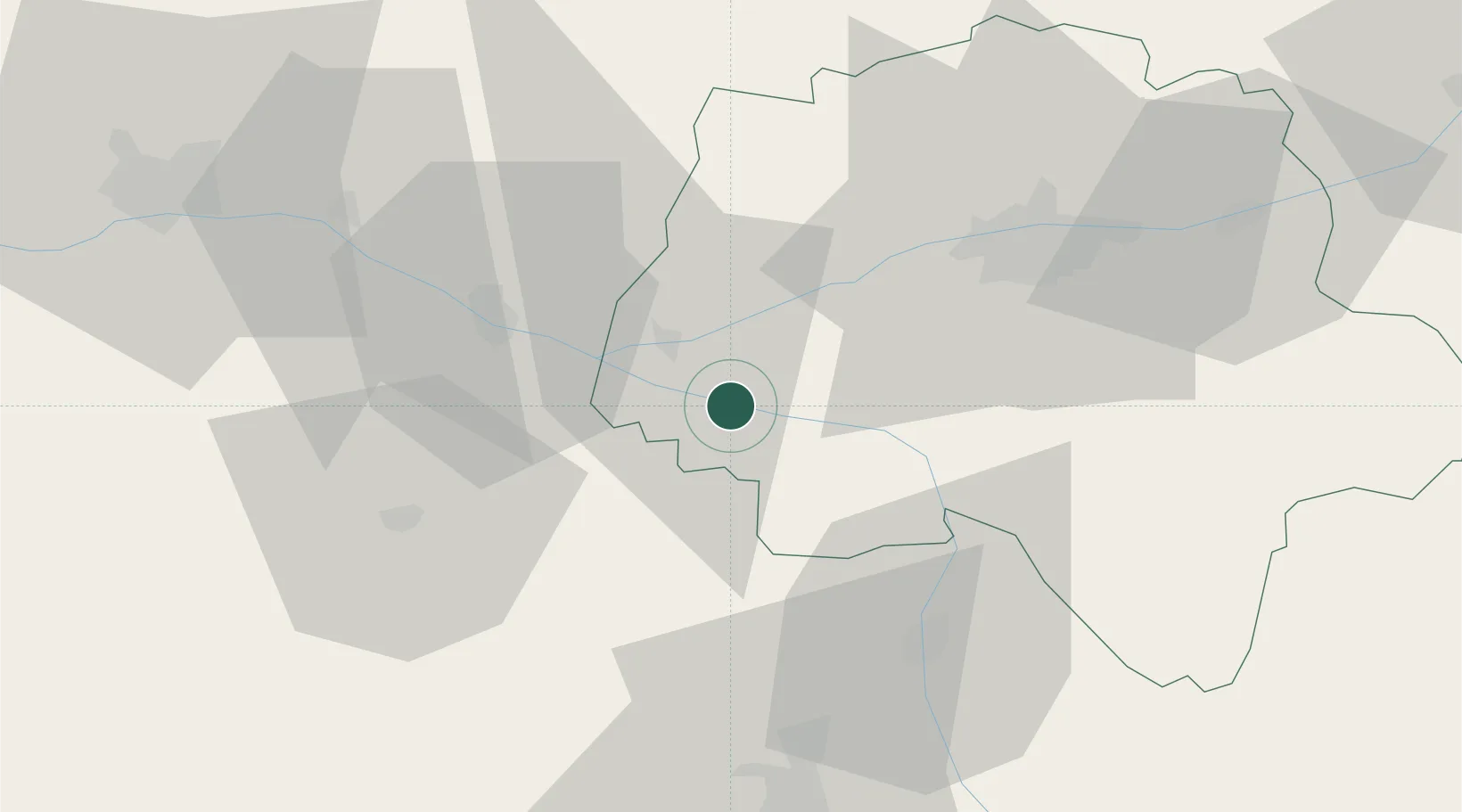
Hub Profile
Place type
Populated place
Region
Centre-Val de Loire
Population
658
Time zone
Europe/Paris
Elevation
39 m
Location
Nearby Logistics Neighbours
Cities
- 1Ligré4 km
- 2Sazilly5 km
- 3Beaumont-en-Véron8 km
- 4Lémeré9 km
- 5Thizay9 km
Ports
- 1Nantes139 km
- 2La Rochelle155 km
- 3La Pallice157 km
- 4Tonnay Charente162 km
- 5Rochefort164 km
Airports
- 1Tours Val de Loire Airport47 km
- 2Poitiers-Biard Airport63 km
- 3Angers Marcé airport63 km
- 4Le Mans-Arnage Airport89 km
- 5Niort - Marais Poitevin Airport106 km
Trade Zones
- 1ZFU Angers75 km
- 2ZFU Blois90 km
- 3ZFU Le Mans93 km
- 4ZFU Alençon143 km
- 5ZFU Orléans143 km
DatabookThe Record of Consolidated Knowledge
France beyond logistics?