UN/LOCODE hub · France
FRYYT

Limeyrat

45.1667°, 0.9833°
458
Population
1
Transport functions

Transport Functions

Multimodal
UN/LOCODE

Hub Profile

Place type
Populated place
GeoNames
Region
Nouvelle-Aquitaine
GeoNames
Population
458
GeoNames
Time zone
Europe/Paris
GeoNames
Elevation
236 m
GeoNames

Location

Location of FRYYT
Natural Earth 10m (public domain) · Nouvelle-Aquitaine · FRYYT · 45.17, 0.98GoogleOSMYandex

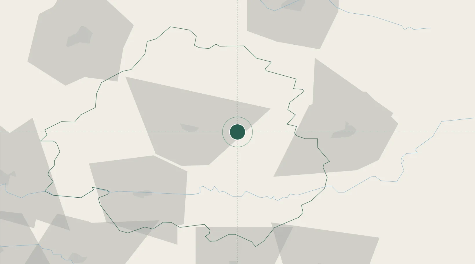
Nearby Logistics Neighbours

Cities
  1. 1Bonneval4 km
  2. 2Saint-Geyrac11 km
  3. 3Trélissac16 km
  4. 4Montmoreau16 km
  5. 5Boulazac17 km
Nearest neighbours — logibook spatial index (haversine) over the source coordinates
Ports
  1. 1Ambes120 km
  2. 2Bordeaux126 km
  3. 3Blaye129 km
  4. 4Pauillac136 km
  5. 5Le Verdon165 km
Nearest neighbours — logibook spatial index (haversine) over the source coordinates
Airports
  1. 1Périgueux-Bassillac Airport14 km
  2. 2Brive Souillac airport42 km
  3. 3Bergerac Dordogne-Périgord airport53 km
  4. 4Limoges Airport79 km
  5. 5Angoulême Brie-Champniers airport86 km
Nearest neighbours — logibook spatial index (haversine) over the source coordinates
Trade Zones
  1. 1Port de Bordeaux123 km
  2. 2ZFU Hauts de Garonne128 km
  3. 3ZFU Clermont-Ferrand177 km
  4. 4ZFU Toulouse178 km
  5. 5ZFU La Rochelle203 km
Nearest neighbours — logibook spatial index (haversine) over the source coordinates
DatabookThe Record of Consolidated Knowledge
France beyond logistics?
Browse databook

All Sources

LocationsUN/LOCODE
UN/LOCODE — free
LocationsGeoNames
CC BY 4.0
Portsthe NGA World Port Index
Public domain (US gov)
AirportsOurAirports
Public domain
Trade Zonesthe World Bank SEZ database
CC BY 4.0
Trade ZonesOpen Zone Map
CC BY
← France locations