UN/LOCODE hub · France
FR6AU

Montmoreau

45.2333°, 0.8000°
2
Transport functions

Transport Functions

Road
Multimodal
UN/LOCODE

Hub Profile

Region
16
GeoNames

Location

Location of FR6AU
Natural Earth 10m (public domain) · 16 · FR6AU · 45.23, 0.80GoogleOSMYandex

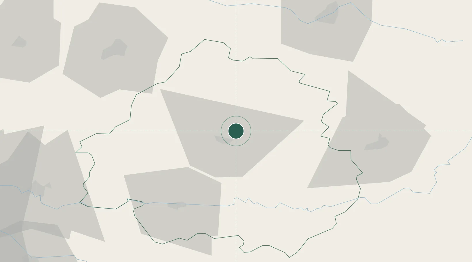
Nearby Logistics Neighbours

Cities
  1. 1Trélissac6 km
  2. 2Boulazac8 km
  3. 3Périgueux9 km
  4. 4Chancelade11 km
  5. 5Limeyrat16 km
Nearest neighbours — logibook spatial index (haversine) over the source coordinates
Ports
  1. 1Ambes107 km
  2. 2Bordeaux115 km
  3. 3Blaye116 km
  4. 4Pauillac122 km
  5. 5Le Verdon149 km
Nearest neighbours — logibook spatial index (haversine) over the source coordinates
Airports
  1. 1Périgueux-Bassillac Airport4 km
  2. 2Bergerac Dordogne-Périgord airport51 km
  3. 3Brive Souillac airport58 km
  4. 4Angoulême Brie-Champniers airport71 km
  5. 5Limoges Airport76 km
Nearest neighbours — logibook spatial index (haversine) over the source coordinates
Trade Zones
  1. 1Port de Bordeaux111 km
  2. 2ZFU Hauts de Garonne117 km
  3. 3ZFU La Rochelle187 km
  4. 4ZFU Clermont-Ferrand188 km
  5. 5ZFU Toulouse188 km
Nearest neighbours — logibook spatial index (haversine) over the source coordinates
DatabookThe Record of Consolidated Knowledge
France beyond logistics?
Browse databook

All Sources

LocationsUN/LOCODE
UN/LOCODE — free
Portsthe NGA World Port Index
Public domain (US gov)
AirportsOurAirports
Public domain
Trade Zonesthe World Bank SEZ database
CC BY 4.0
Trade ZonesOpen Zone Map
CC BY
← France locations