Transport Functions
Road
Multimodal
Hub Profile
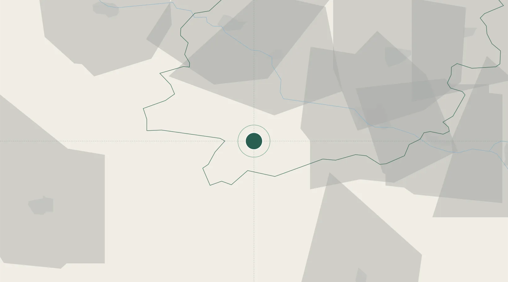
Place type
Populated place
Region
Nouvelle-Aquitaine
Population
552
Time zone
Europe/Paris
Elevation
95 m
Location
Nearby Logistics Neighbours
Cities
- 1Fréchou8 km
- 2Mézin8 km
- 3Lavardac9 km
- 4Espiens12 km
- 5Sainte-Maure-de-Peyriac13 km
Airports
Trade Zones
- 1ZFU Hauts de Garonne102 km
- 2Port de Bordeaux107 km
- 3ZFU Toulouse112 km
- 4Depósito Franco de Pasajes (Guipúzcoa)194 km
- 5ZFU La Rochelle254 km
DatabookThe Record of Consolidated Knowledge
France beyond logistics?