Transport Functions
Multimodal
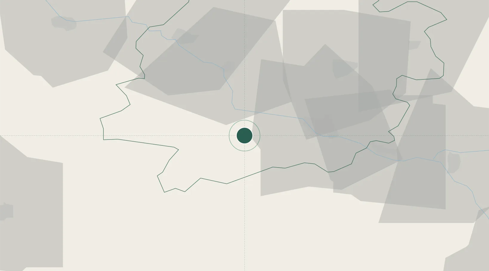
Hub Profile
Place type
Populated place
Region
Nouvelle-Aquitaine
Population
324
Time zone
Europe/Paris
Elevation
194 m
Location
Nearby Logistics Neighbours
Cities
- 1Lavardac6 km
- 2Calignac7 km
- 3Bruch7 km
- 4Port-Sainte-Marie10 km
- 5Fréchou10 km
Airports
Trade Zones
- 1ZFU Hauts de Garonne105 km
- 2ZFU Toulouse106 km
- 3Port de Bordeaux109 km
- 4Depósito Franco de Pasajes (Guipúzcoa)206 km
- 5ZFU Béziers247 km
DatabookThe Record of Consolidated Knowledge
France beyond logistics?