Transport Functions
Multimodal
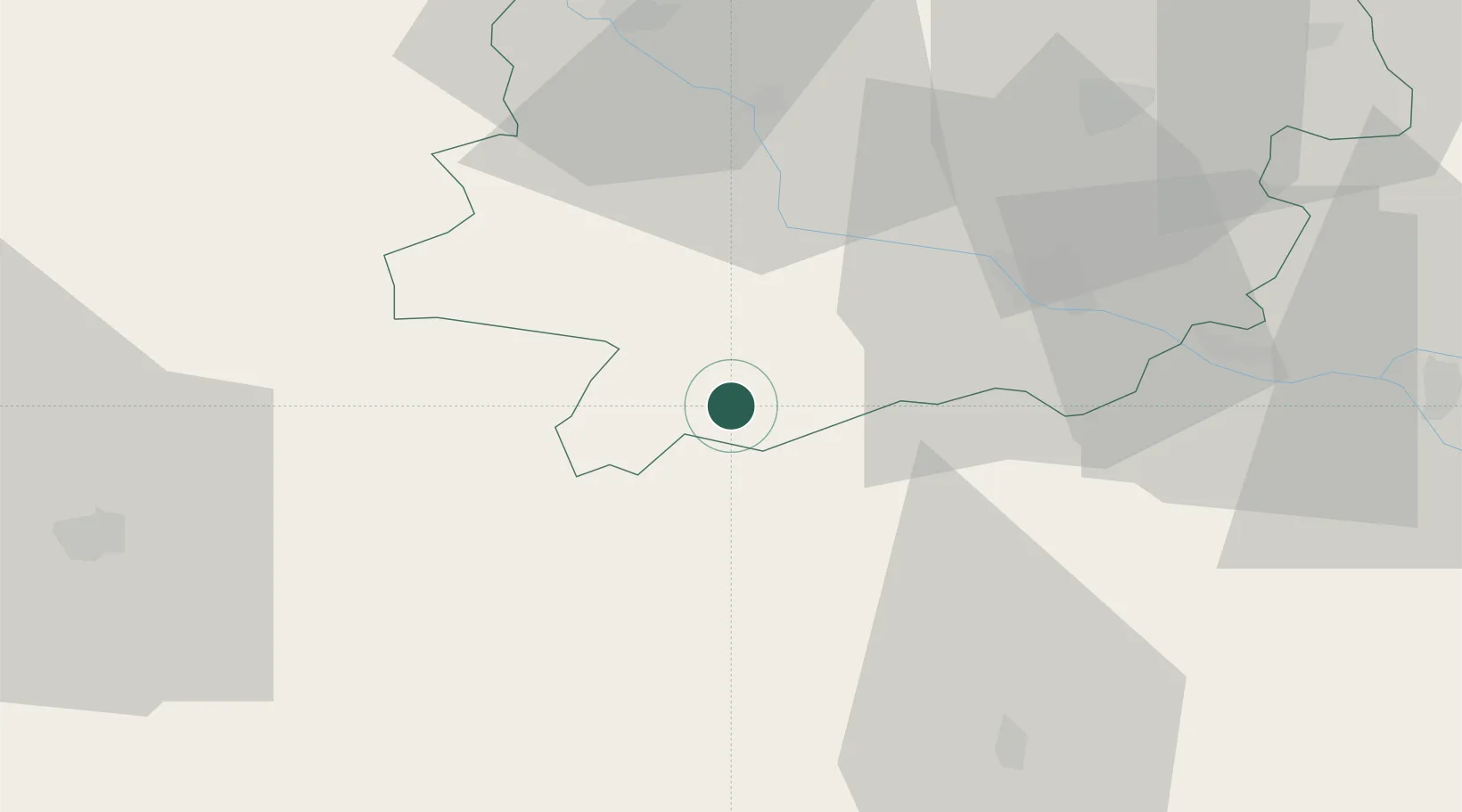
Hub Profile
Place type
Populated place
Region
Nouvelle-Aquitaine
Population
1,519
Time zone
Europe/Paris
Elevation
118 m
Location
Nearby Logistics Neighbours
Cities
- 1Fréchou5 km
- 2Lisse8 km
- 3Larroque-sur-l'Osse9 km
- 4Sainte-Maure-de-Peyriac10 km
- 5Francescas13 km
Airports
Trade Zones
- 1ZFU Toulouse107 km
- 2ZFU Hauts de Garonne110 km
- 3Port de Bordeaux115 km
- 4Depósito Franco de Pasajes (Guipúzcoa)194 km
- 5ZFU Béziers250 km
DatabookThe Record of Consolidated Knowledge
France beyond logistics?