UN/LOCODE hub · France
FRMDW

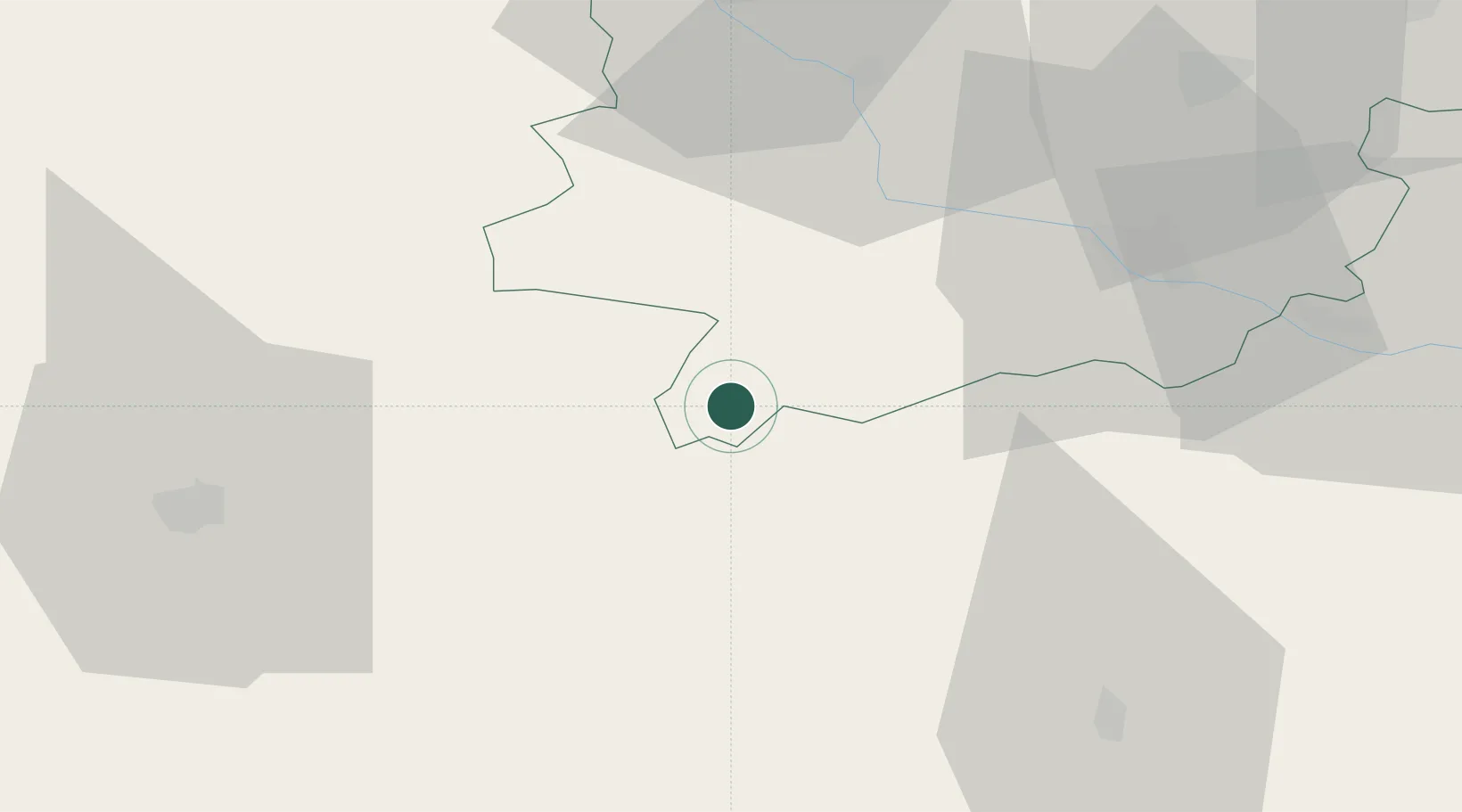
Sainte-Maure-de-Peyriac

44.0167°, 0.1500°
343
Population
1
Transport functions

Transport Functions

Port
UN/LOCODE

Hub Profile

Place type
Populated place
GeoNames
Region
Nouvelle-Aquitaine
GeoNames
Population
343
GeoNames
Time zone
Europe/Paris
GeoNames
Elevation
164 m
GeoNames

Location

Location of FRMDW
Natural Earth 10m (public domain) · Nouvelle-Aquitaine · FRMDW · 44.02, 0.15GoogleOSMYandex

Nearby Logistics Neighbours

Cities
  1. 1Mézin10 km
  2. 2Larroque-sur-l'Osse11 km
  3. 3Lisse13 km
  4. 4Lagraulet-du-Gers14 km
  5. 5Fréchou15 km
Nearest neighbours — logibook spatial index (haversine) over the source coordinates
Ports
  1. 1Bordeaux110 km
  2. 2Ambes124 km
  3. 3Blaye140 km
  4. 4Bayonne142 km
  5. 5Pauillac150 km
Nearest neighbours — logibook spatial index (haversine) over the source coordinates
Airports
  1. 1Agen La Garenne airport40 km
  2. 2Auch Gers Airfield52 km
  3. 3Mont-de-Marsan (BA 118) Air Base54 km
  4. 4Pau Pyrénées Airport84 km
  5. 5Tarbes-Lourdes-Pyrénées Airport94 km
Nearest neighbours — logibook spatial index (haversine) over the source coordinates
Trade Zones
  1. 1ZFU Hauts de Garonne107 km
  2. 2Port de Bordeaux113 km
  3. 3ZFU Toulouse113 km
  4. 4Depósito Franco de Pasajes (Guipúzcoa)184 km
  5. 5ZFU Béziers258 km
Nearest neighbours — logibook spatial index (haversine) over the source coordinates
DatabookThe Record of Consolidated Knowledge
France beyond logistics?
Browse databook

All Sources

LocationsUN/LOCODE
UN/LOCODE — free
LocationsGeoNames
CC BY 4.0
Portsthe NGA World Port Index
Public domain (US gov)
AirportsOurAirports
Public domain
Trade Zonesthe World Bank SEZ database
CC BY 4.0
Trade ZonesOpen Zone Map
CC BY
← France locations