Transport Functions
Rail
Road
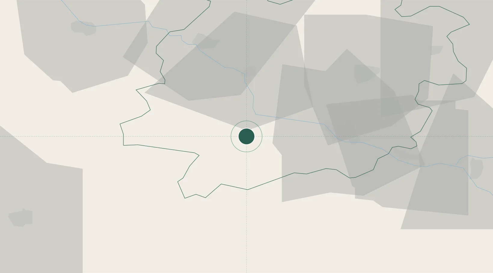
Hub Profile
Place type
Populated place
Region
Nouvelle-Aquitaine
Population
2,384
Time zone
Europe/Paris
Elevation
57 m
Location
Nearby Logistics Neighbours
Cities
- 1Espiens6 km
- 2Buzet-sur-Baïse8 km
- 3Lisse9 km
- 4Bruch10 km
- 5Port-Sainte-Marie11 km
Airports
Trade Zones
- 1ZFU Hauts de Garonne100 km
- 2Port de Bordeaux105 km
- 3ZFU Toulouse112 km
- 4Depósito Franco de Pasajes (Guipúzcoa)203 km
- 5ZFU La Rochelle250 km
DatabookThe Record of Consolidated Knowledge
France beyond logistics?