UN/LOCODE hub · France
FRGLW

Callengeville

49.8000°, 1.5167°
1
Transport functions

Transport Functions

Multimodal
UN/LOCODE

Hub Profile

Place type
Populated place
GeoNames
Region
Normandy
GeoNames
Time zone
Europe/Paris
GeoNames
Elevation
207 m
GeoNames

Location

Location of FRGLW
Natural Earth 10m (public domain) · Normandy · FRGLW · 49.80, 1.52GoogleOSMYandex

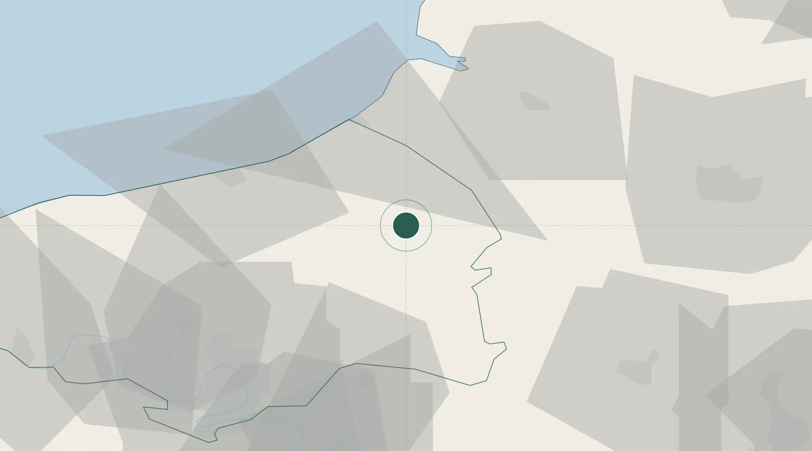
Nearby Logistics Neighbours

Cities
  1. 1Foucarmont7 km
  2. 2Vieux-Rouen-sur-Bresle15 km
  3. 3Pierrecourt16 km
  4. 4Les Hayons16 km
  5. 5Aumale17 km
Nearest neighbours — logibook spatial index (haversine) over the source coordinates
Ports
  1. 1Le Treport32 km
  2. 2Dieppe34 km
  3. 3Saint-Valery-Sur-Somme43 km
  4. 4Port Of Rouen51 km
  5. 5Fecamp83 km
Nearest neighbours — logibook spatial index (haversine) over the source coordinates
Airports
  1. 1Abbeville-Buigny Baie de Somme Airfield44 km
  2. 2Rouen Vallée de Seine Airport52 km
  3. 3Beauvais-Tillé airport58 km
  4. 4Amiens Glisy Airfield63 km
  5. 5Le Touquet-Côte d'Opale Airport80 km
Nearest neighbours — logibook spatial index (haversine) over the source coordinates
Trade Zones
  1. 1ZFU Amiens45 km
  2. 2ZFU Rouen Bihorel48 km
  3. 3ZFU Beauvais55 km
  4. 4ZFU Creil et Montataire88 km
  5. 5ZFU Évreux90 km
Nearest neighbours — logibook spatial index (haversine) over the source coordinates
DatabookThe Record of Consolidated Knowledge
France beyond logistics?
Browse databook

All Sources

LocationsUN/LOCODE
UN/LOCODE — free
Portsthe NGA World Port Index
Public domain (US gov)
AirportsOurAirports
Public domain
Trade Zonesthe World Bank SEZ database
CC BY 4.0
Trade ZonesOpen Zone Map
CC BY
← France locations