Transport Functions
Multimodal
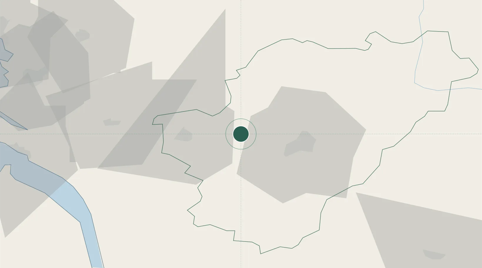
Hub Profile
Place type
Populated place
Region
Nouvelle-Aquitaine
Time zone
Europe/Paris
Elevation
42 m
Location
Nearby Logistics Neighbours
Cities
- 1Bassac4 km
- 2Gondeville6 km
- 3Les Métairies7 km
- 4Angeac-Charente8 km
- 5Mareuil8 km
Ports
- 1Tonnay Charente68 km
- 2Rochefort72 km
- 3Pauillac76 km
- 4Le Verdon77 km
- 5Blaye78 km
Airports
Trade Zones
- 1Port de Bordeaux95 km
- 2ZFU La Rochelle101 km
- 3ZFU Hauts de Garonne104 km
- 4ZFU Angers202 km
- 5ZFU Nantes et Saint-Herblain210 km
DatabookThe Record of Consolidated Knowledge
France beyond logistics?