Transport Functions
Port
Rail
Road
Airport
Postal
Hub Profile
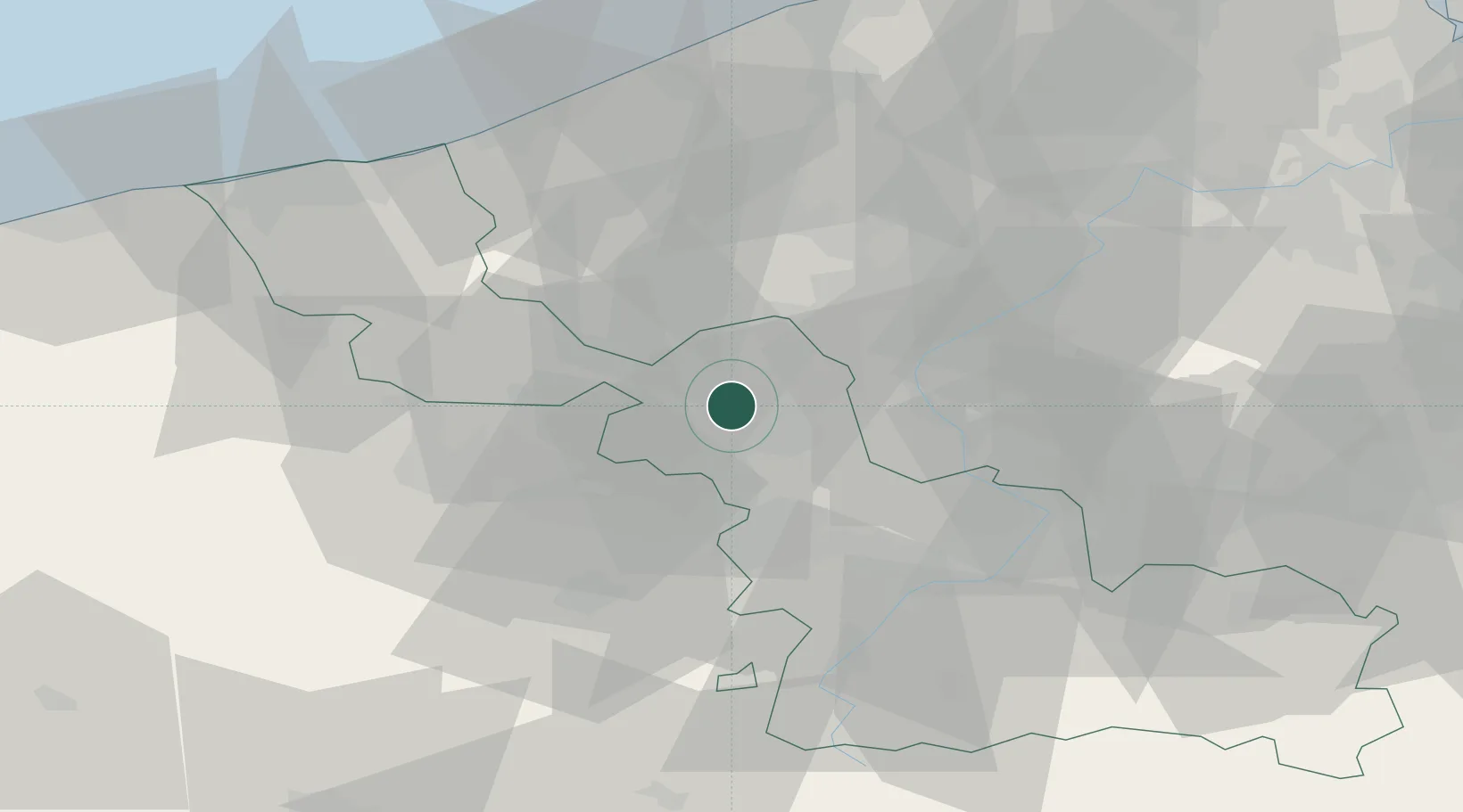
Place type
Regional capital
Region
Hauts-de-France
Population
238,695
Time zone
Europe/Paris
Elevation
20 m
Logistics facilities
4
Location
Nearby Logistics Neighbours
Cities
- 1Délivrance/Lille2 km
- 2Lambersart3 km
- 3Champs-de-Mars/Lille3 km
- 4La Madeleine4 km
- 5Wattignies5 km
Ports
- 1Nieuwpoort60 km
- 2Oostende68 km
- 3Dunkerque Port Est68 km
- 4Bruges69 km
- 5Ghent70 km
Airports
DatabookThe Record of Consolidated Knowledge
France beyond logistics?