UN/LOCODE hub · France
FRDLV

Délivrance/Lille

50.6333°, 3.0000°
1
Transport functions

Transport Functions

Rail
UN/LOCODE

Hub Profile

Region
59
GeoNames

Location

Location of FRDLV
Natural Earth 10m (public domain) · 59 · FRDLV · 50.63, 3.00GoogleOSMYandex

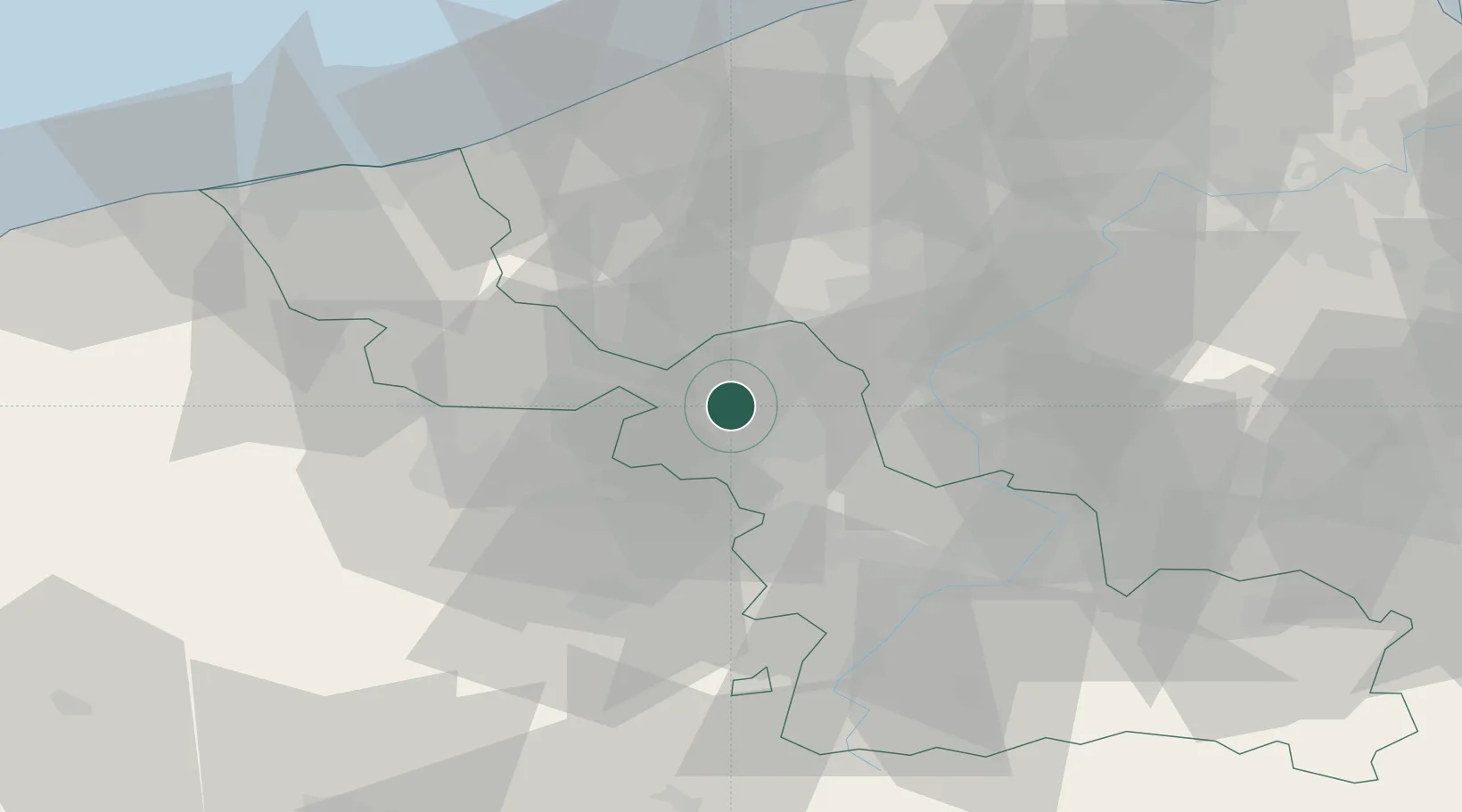
Nearby Logistics Neighbours

Cities
  1. 1Lille2 km
  2. 2Lambersart3 km
  3. 3Capinghem3 km
  4. 4Lompret4 km
  5. 5Champs-de-Mars/Lille4 km
Nearest neighbours — logibook spatial index (haversine) over the source coordinates
Ports
  1. 1Nieuwpoort58 km
  2. 2Dunkerque Port Est66 km
  3. 3Oostende67 km
  4. 4Bruges68 km
  5. 5Ghent71 km
Nearest neighbours — logibook spatial index (haversine) over the source coordinates
Airports
  1. 1Lille Airport10 km
  2. 2Merville-Calonne Airport25 km
  3. 3Flanders International Airport Kortrijk-Wevelgem25 km
  4. 4Valenciennes-Denain Airfield47 km
  5. 5Koksijde Air Base56 km
Nearest neighbours — logibook spatial index (haversine) over the source coordinates
DatabookThe Record of Consolidated Knowledge
France beyond logistics?
Browse databook

All Sources

LocationsUN/LOCODE
UN/LOCODE — free
Portsthe NGA World Port Index
Public domain (US gov)
AirportsOurAirports
Public domain
Trade Zonesthe World Bank SEZ database
CC BY 4.0
Trade ZonesOpen Zone Map
CC BY
← France locations