Transport Functions
Multimodal
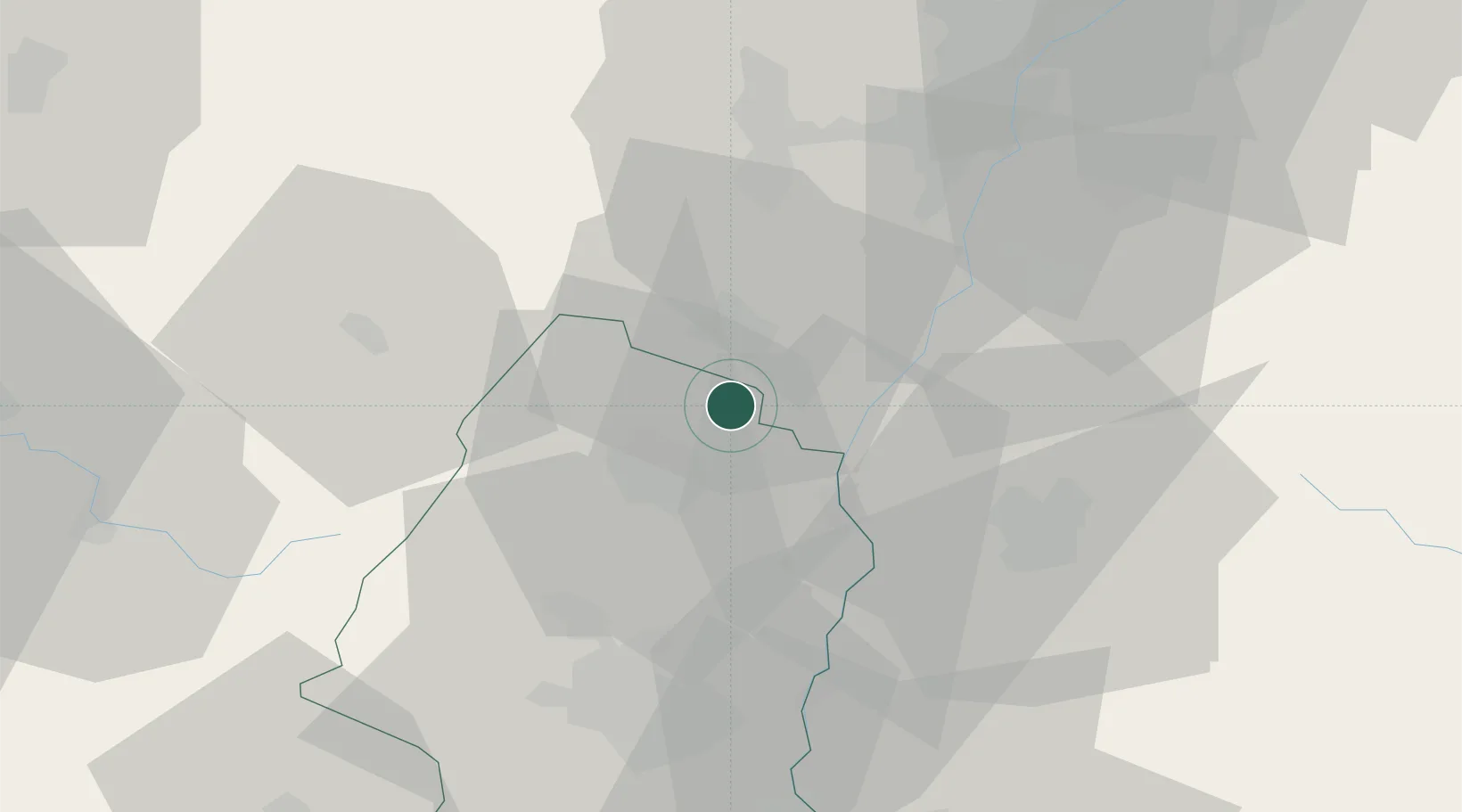
Hub Profile
Place type
Populated place
Region
Grand Est
Population
676
Time zone
Europe/Paris
Elevation
176 m
Location
Nearby Logistics Neighbours
Cities
- 1Ostheim6 km
- 2Orschwiller7 km
- 3Kintzheim8 km
- 4Houssen8 km
- 5Rodern8 km
Airports
- 1Colmar Houssen airport10 km
- 2Lahr Airport36 km
- 3Strasbourg Airport42 km
- 4EuroAirport Basel–Mulhouse–Freiburg65 km
- 5Phalsbourg-Bourscheid Air Base67 km
Trade Zones
- 1ZFU Neuhof47 km
- 2ZFU Mulhouse49 km
- 3ZFU Hautepierre50 km
- 4ZFU Belfort76 km
- 5ZFU Montbéliard90 km
DatabookThe Record of Consolidated Knowledge
France beyond logistics?