Transport Functions
Port
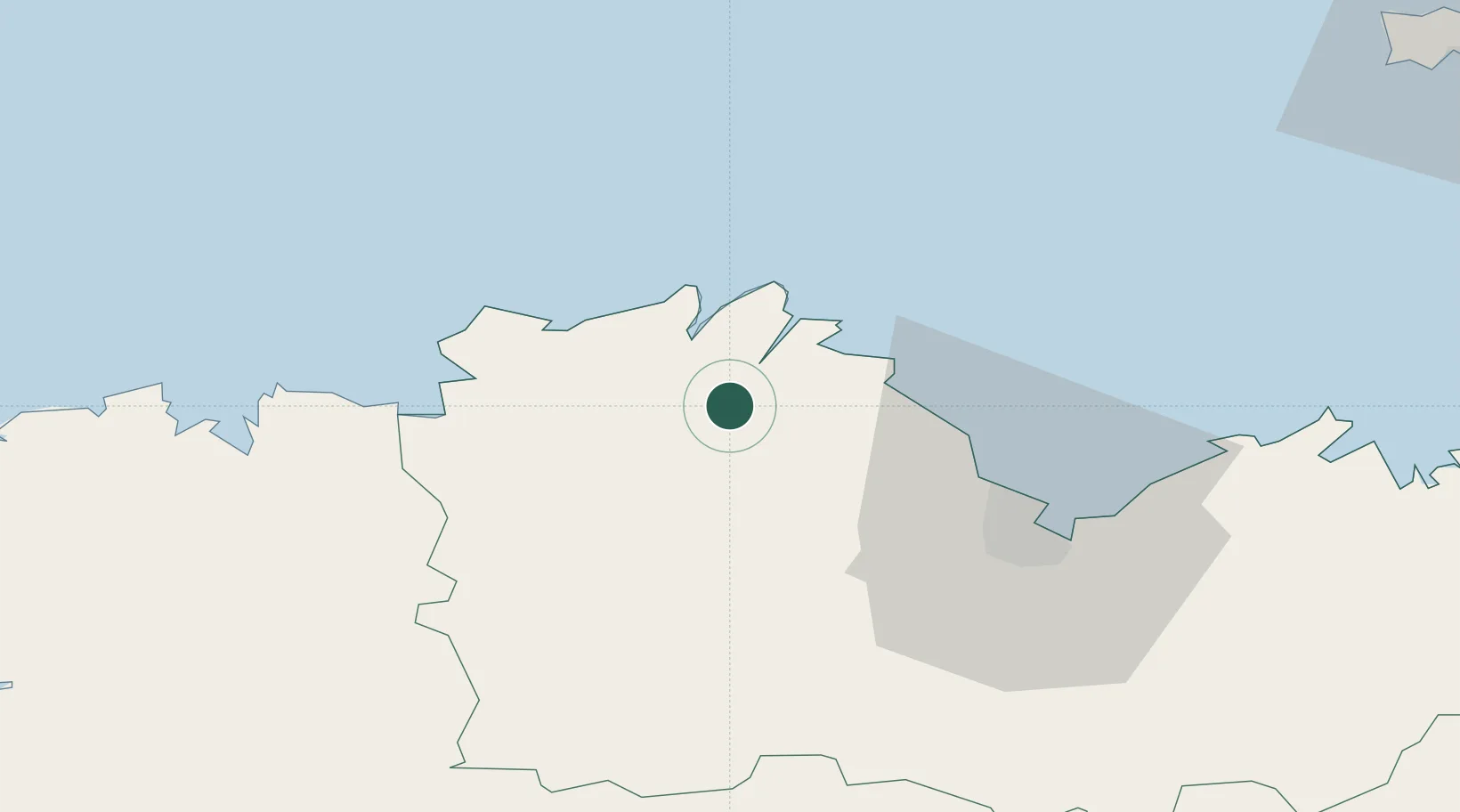
Hub Profile
Place type
Populated place
Region
Brittany
Population
1,301
Time zone
Europe/Paris
Elevation
12 m
Location
Nearby Logistics Neighbours
Cities
- 1Quemper-Guézennec5 km
- 2Le Faouët8 km
- 3Plourivo9 km
- 4Trédarzec10 km
- 5Minihy-Tréguier11 km
Ports
- 1Treguier11 km
- 2Lezardrieux11 km
- 3Paimpol13 km
- 4Le Legue36 km
- 5Morlaix51 km
Airports
- 1Lannion Airport23 km
- 2Saint-Brieuc-Armor Airport29 km
- 3Morlaix-Ploujean Airport49 km
- 4Landivisiau Air Base75 km
- 5Dinard Pleurtuit Saint-Malo airport81 km
Trade Zones
- 1ZFU Cherbourg-Octeville151 km
- 2ZFU Saint-Nazaire172 km
- 3ZFU Nantes et Saint-Herblain197 km
- 4Oceansgate Plymouth200 km
- 5Heart of the South West Enterprise Zone200 km
DatabookThe Record of Consolidated Knowledge
France beyond logistics?