Transport Functions
Multimodal
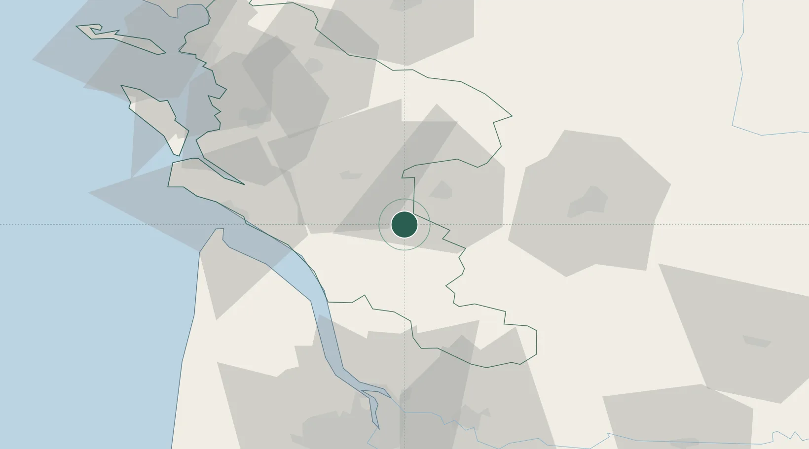
Hub Profile
Place type
Populated place
Region
Nouvelle-Aquitaine
Population
484
Time zone
Europe/Paris
Elevation
62 m
Location
Nearby Logistics Neighbours
Cities
- 1Pérignac4 km
- 2Celles7 km
- 3Marignac8 km
- 4Salignac-sur-Charente10 km
- 5Saint-Grégoire-d'Ardennes10 km
Ports
- 1Le Verdon47 km
- 2Pauillac49 km
- 3Tonnay Charente52 km
- 4Blaye53 km
- 5Rochefort55 km
Airports
Trade Zones
- 1Port de Bordeaux75 km
- 2ZFU Hauts de Garonne84 km
- 3ZFU La Rochelle87 km
- 4ZFU Nantes et Saint-Herblain206 km
- 5ZFU Angers211 km
DatabookThe Record of Consolidated Knowledge
France beyond logistics?