UN/LOCODE hub · France
FRCE6

Celles

45.6000°, -0.3667°
276
Population
1
Transport functions

Transport Functions

Multimodal
UN/LOCODE

Hub Profile

Place type
Populated place
GeoNames
Region
Nouvelle-Aquitaine
GeoNames
Population
276
GeoNames
Time zone
Europe/Paris
GeoNames
Elevation
17 m
GeoNames

Location

Location of FRCE6
Natural Earth 10m (public domain) · Nouvelle-Aquitaine · FRCE6 · 45.60, -0.37GoogleOSMYandex

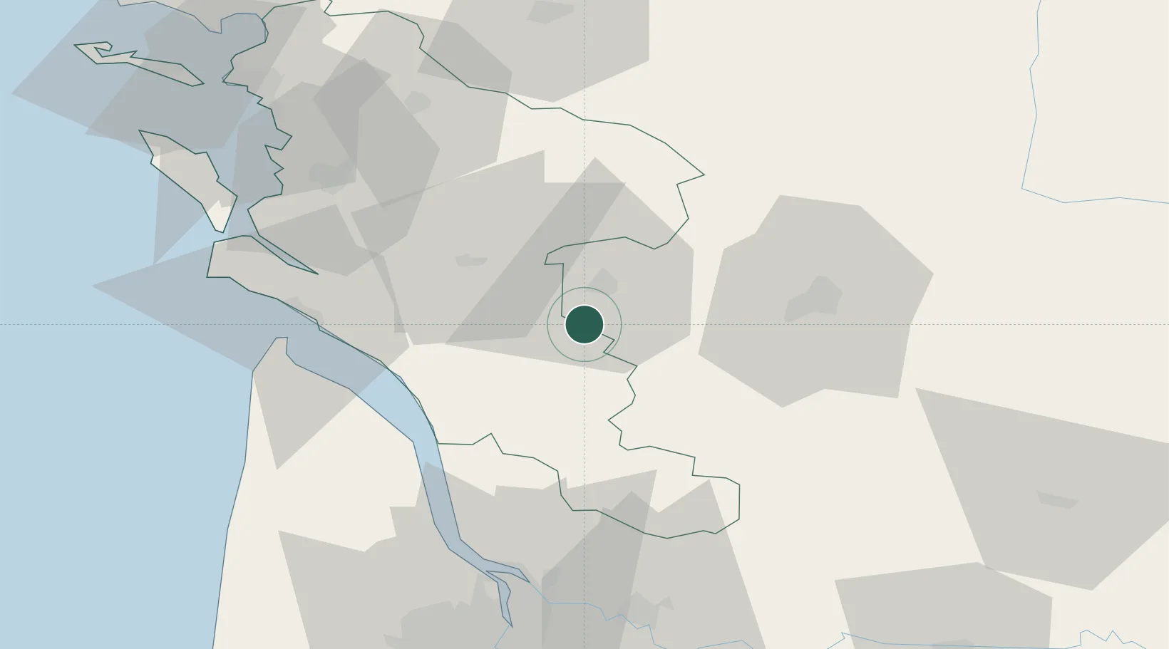
Nearby Logistics Neighbours

Cities
  1. 1Genté5 km
  2. 2Échebrune7 km
  3. 3Châteaubernard8 km
  4. 4Pérignac8 km
  5. 5Salignac-sur-Charente8 km
Nearest neighbours — logibook spatial index (haversine) over the source coordinates
Ports
  1. 1Le Verdon54 km
  2. 2Pauillac54 km
  3. 3Tonnay Charente56 km
  4. 4Blaye57 km
  5. 5Rochefort59 km
Nearest neighbours — logibook spatial index (haversine) over the source coordinates
Airports
  1. 1Cognac-Châteaubernard (BA 709) Air Base8 km
  2. 2Royan-Médis Airport47 km
  3. 3Angoulême Brie-Champniers airport48 km
  4. 4Rochefort-Saint-Agnant (BA 721) Airport58 km
  5. 5Niort - Marais Poitevin Airport79 km
Nearest neighbours — logibook spatial index (haversine) over the source coordinates
Trade Zones
  1. 1Port de Bordeaux78 km
  2. 2ZFU Hauts de Garonne87 km
  3. 3ZFU La Rochelle90 km
  4. 4ZFU Nantes et Saint-Herblain208 km
  5. 5ZFU Angers210 km
Nearest neighbours — logibook spatial index (haversine) over the source coordinates
DatabookThe Record of Consolidated Knowledge
France beyond logistics?
Browse databook

All Sources

LocationsUN/LOCODE
UN/LOCODE — free
LocationsGeoNames
CC BY 4.0
Portsthe NGA World Port Index
Public domain (US gov)
AirportsOurAirports
Public domain
Trade Zonesthe World Bank SEZ database
CC BY 4.0
Trade ZonesOpen Zone Map
CC BY
← France locations