Transport Functions
Multimodal
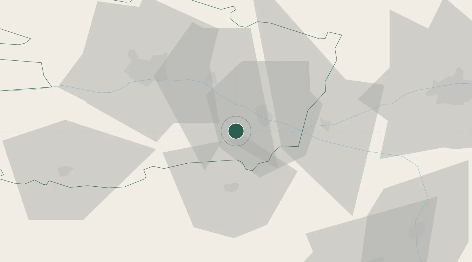
Hub Profile
Place type
Populated place
Region
Pays de la Loire
Population
510
Time zone
Europe/Paris
Elevation
54 m
Location
Nearby Logistics Neighbours
Cities
- 1Meigné1 km
- 2Dampierre-sur-Loire2 km
- 3Rou-Marson3 km
- 4Brossay6 km
- 5Dénezé-sous-Doué7 km
Ports
- 1Nantes105 km
- 2La Rochelle140 km
- 3La Pallice141 km
- 4Donges142 km
- 5Les Sables D' Olonne147 km
Airports
- 1Angers Marcé airport39 km
- 2Tours Val de Loire Airport73 km
- 3Poitiers-Biard Airport79 km
- 4Le Mans-Arnage Airport86 km
- 5Laval-Entrammes Airport100 km
Trade Zones
- 1ZFU Angers43 km
- 2ZFU Le Mans88 km
- 3ZFU Nantes et Saint-Herblain115 km
- 4ZFU Blois117 km
- 5ZFU Alençon136 km
DatabookThe Record of Consolidated Knowledge
France beyond logistics?