Transport Functions
Rail
Road
Hub Profile
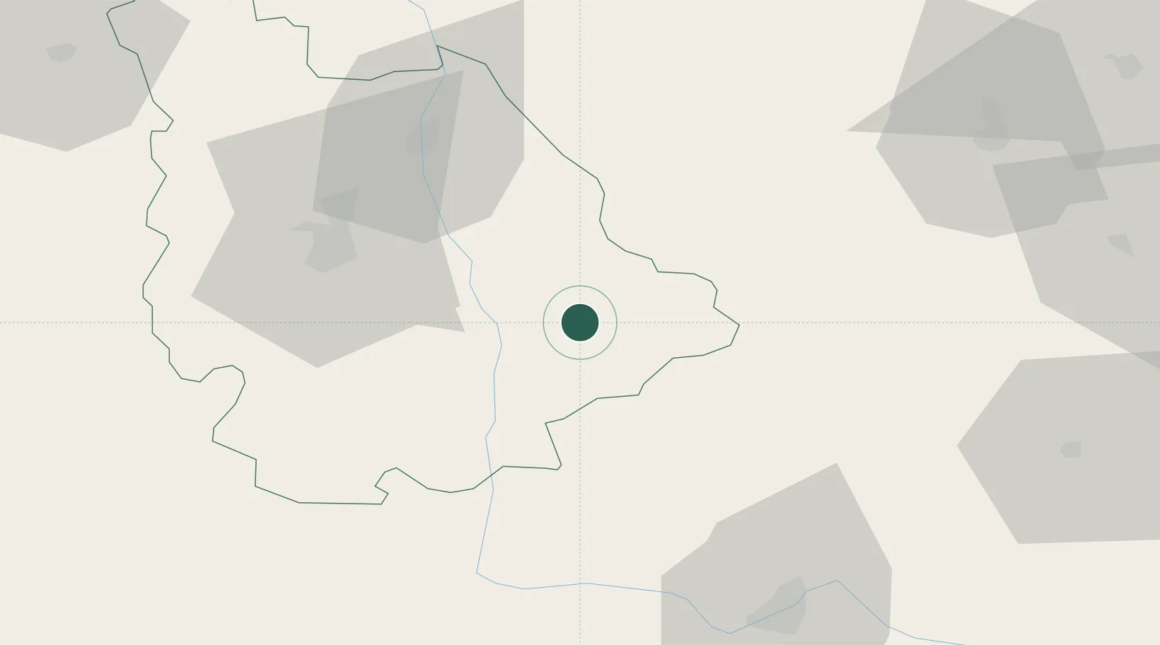
Place type
District seat
Region
Nouvelle-Aquitaine
Population
7,960
Time zone
Europe/Paris
Elevation
94 m
Location
Nearby Logistics Neighbours
Cities
- 1Lanne14 km
- 2Verrières22 km
- 3L'Isle-Jourdain26 km
- 4Le Vigeant28 km
- 5Saint-Pierre-de-Maillé28 km
Ports
- 1Tonnay Charente147 km
- 2Rochefort151 km
- 3La Rochelle158 km
- 4La Pallice163 km
- 5Le Verdon178 km
Airports
Trade Zones
- 1ZFU Blois131 km
- 2ZFU Bourges132 km
- 3ZFU Angers161 km
- 4ZFU La Rochelle163 km
- 5ZFU Orléans176 km
DatabookThe Record of Consolidated Knowledge
France beyond logistics?