Transport Functions
Multimodal
Hub Profile
Place type
District seat
Region
Basque Country
Time zone
Europe/Madrid
Elevation
306 m
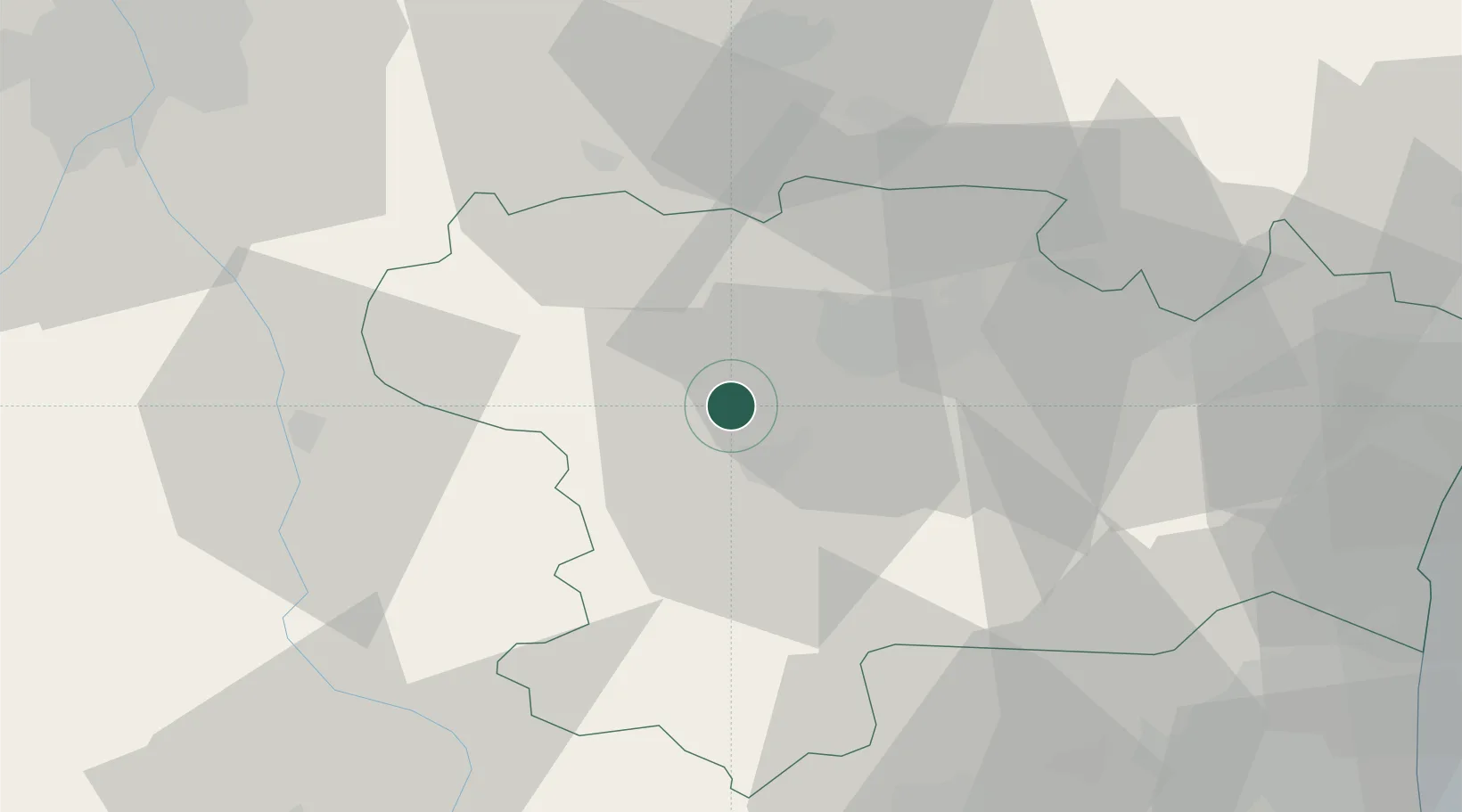
Location
Nearby Logistics Neighbours
Cities
- 1Malviès4 km
- 2Brugairolles4 km
- 3Lauraguel6 km
- 4Montréal6 km
- 5Cépie9 km
Ports
- 1Port-La-Nouvelle75 km
- 2Port-Vendres105 km
- 3Sete127 km
- 4Rosas129 km
- 5Palamos166 km
Airports
Trade Zones
- 1ZFU Toulouse77 km
- 2ZFU Perpignan78 km
- 3ZFU Béziers87 km
- 4ZFU Montpellier145 km
- 5ZFU Nîmes191 km
DatabookThe Record of Consolidated Knowledge
Spain beyond logistics?