UN/LOCODE hub · France
FR2MT

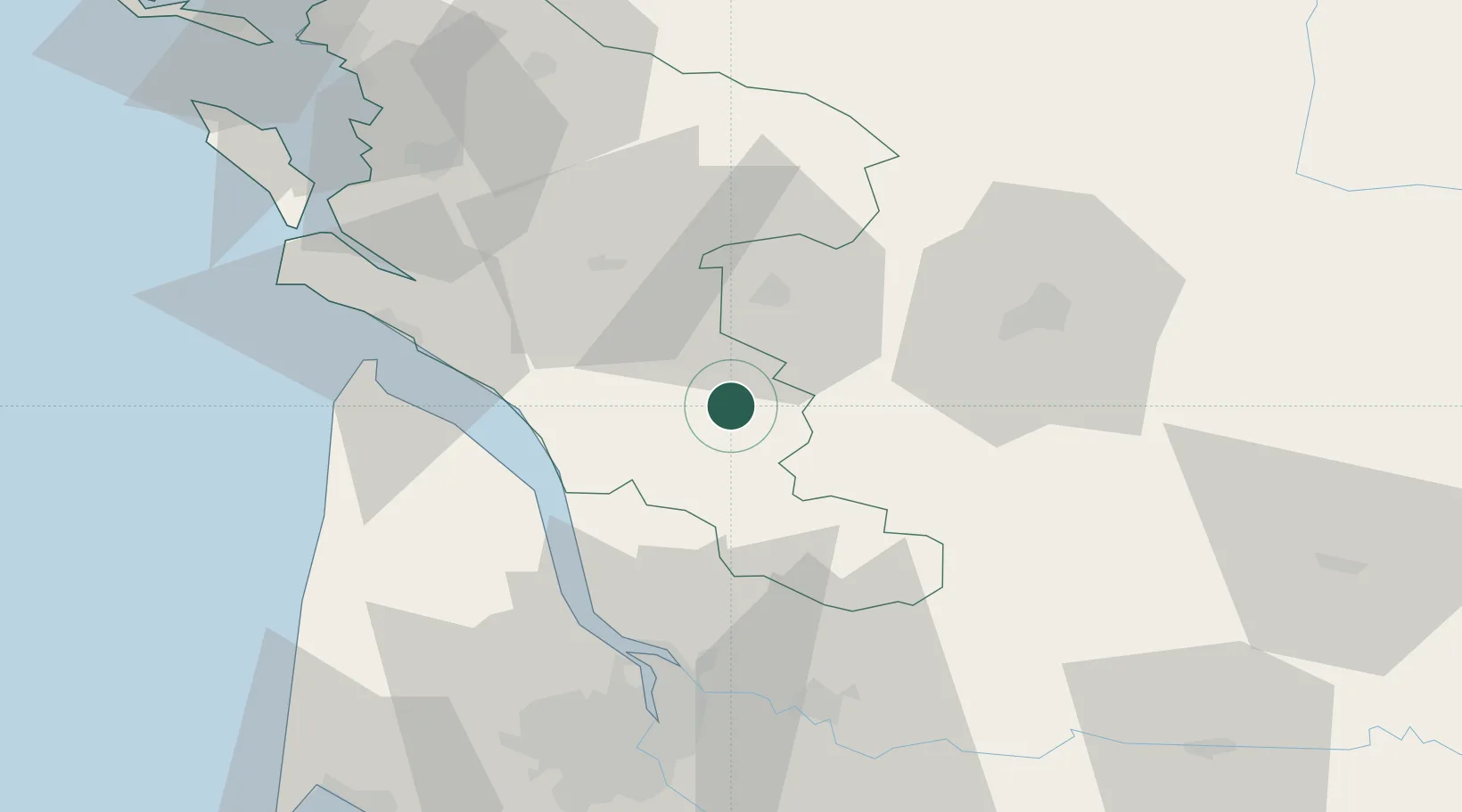
Saint-Maurice-de-Tavernole

45.4833°, -0.4000°
117
Population
1
Transport functions

Transport Functions

Multimodal
UN/LOCODE

Hub Profile

Place type
Populated place
GeoNames
Region
Nouvelle-Aquitaine
GeoNames
Population
117
GeoNames
Time zone
Europe/Paris
GeoNames
Elevation
55 m
GeoNames

Location

Location of FR2MT
Natural Earth 10m (public domain) · Nouvelle-Aquitaine · FR2MT · 45.48, -0.40GoogleOSMYandex

Nearby Logistics Neighbours

Cities
  1. 1Réaux3 km
  2. 2Marignac8 km
  3. 3Saint-Grégoire-d'Ardennes8 km
  4. 4Échebrune12 km
  5. 5Saint-Simon-de-Bordes12 km
Nearest neighbours — logibook spatial index (haversine) over the source coordinates
Ports
  1. 1Pauillac42 km
  2. 2Blaye44 km
  3. 3Le Verdon51 km
  4. 4Ambes53 km
  5. 5Tonnay Charente63 km
Nearest neighbours — logibook spatial index (haversine) over the source coordinates
Airports
  1. 1Cognac-Châteaubernard (BA 709) Air Base21 km
  2. 2Royan-Médis Airport47 km
  3. 3Angoulême Brie-Champniers airport56 km
  4. 4Rochefort-Saint-Agnant (BA 721) Airport64 km
  5. 5Bordeaux–Mérignac Airport77 km
Nearest neighbours — logibook spatial index (haversine) over the source coordinates
Trade Zones
  1. 1Port de Bordeaux65 km
  2. 2ZFU Hauts de Garonne74 km
  3. 3ZFU La Rochelle98 km
  4. 4ZFU Nantes et Saint-Herblain218 km
  5. 5ZFU Angers223 km
Nearest neighbours — logibook spatial index (haversine) over the source coordinates
DatabookThe Record of Consolidated Knowledge
France beyond logistics?
Browse databook

All Sources

LocationsUN/LOCODE
UN/LOCODE — free
LocationsGeoNames
CC BY 4.0
Portsthe NGA World Port Index
Public domain (US gov)
AirportsOurAirports
Public domain
Trade Zonesthe World Bank SEZ database
CC BY 4.0
Trade ZonesOpen Zone Map
CC BY
← France locations