UN/LOCODE hub · France
FRZCW
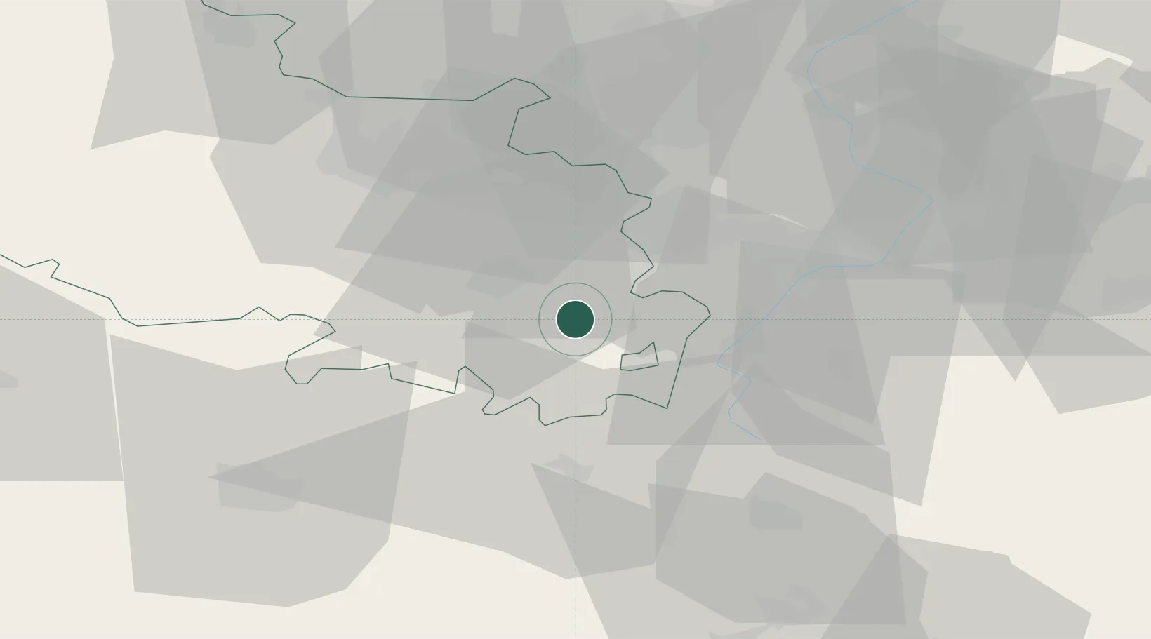
Fontaine-lès-Croisilles
50.2167°, 2.9167°
286
Population
1
Transport functions
Transport Functions
Multimodal
Hub Profile
Place type
Populated place
Region
Hauts-de-France
Population
286
Time zone
Europe/Paris
Elevation
66 m
Location
Nearby Logistics Neighbours
Cities
- 1Marquion12 km
- 2Arras12 km
- 3Achiet-le-Grand13 km
- 4Vitry-en-Artois14 km
- 5Saint-Nicolas14 km
Ports
- 1Saint-Valery-Sur-Somme93 km
- 2Nieuwpoort103 km
- 3Dunkerque Port Est103 km
- 4Gravelines104 km
- 5Boulogne-Sur-Mer110 km
Airports
- 1Péronne Saint-Quentin Airfield40 km
- 2Valenciennes-Denain Airfield41 km
- 3Lille Airport41 km
- 4Merville-Calonne Airport49 km
- 5Amiens Glisy Airfield54 km
Trade Zones
DatabookThe Record of Consolidated Knowledge
France beyond logistics?