UN/LOCODE hub · France
FRHTP
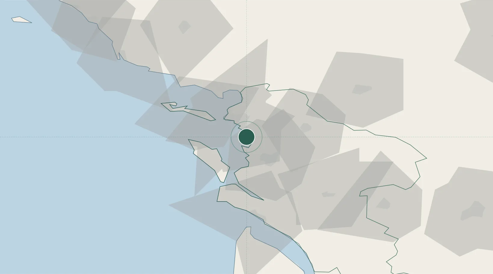
Châtelaillon-Plage
46.0667°, -1.0833°
6,059
Population
2
Transport functions
Transport Functions
Rail
Road
Hub Profile
Place type
Populated place
Region
Nouvelle-Aquitaine
Population
6,059
Time zone
Europe/Paris
Elevation
4 m
Location
Nearby Logistics Neighbours
Ports
- 1La Rochelle11 km
- 2La Pallice15 km
- 3Rochefort18 km
- 4Tonnay Charente21 km
- 5Le Verdon58 km
Airports
Trade Zones
- 1ZFU La Rochelle15 km
- 2Port de Bordeaux136 km
- 3ZFU Nantes et Saint-Herblain137 km
- 4ZFU Hauts de Garonne143 km
- 5ZFU Angers162 km
DatabookThe Record of Consolidated Knowledge
France beyond logistics?