Transport Functions
Multimodal
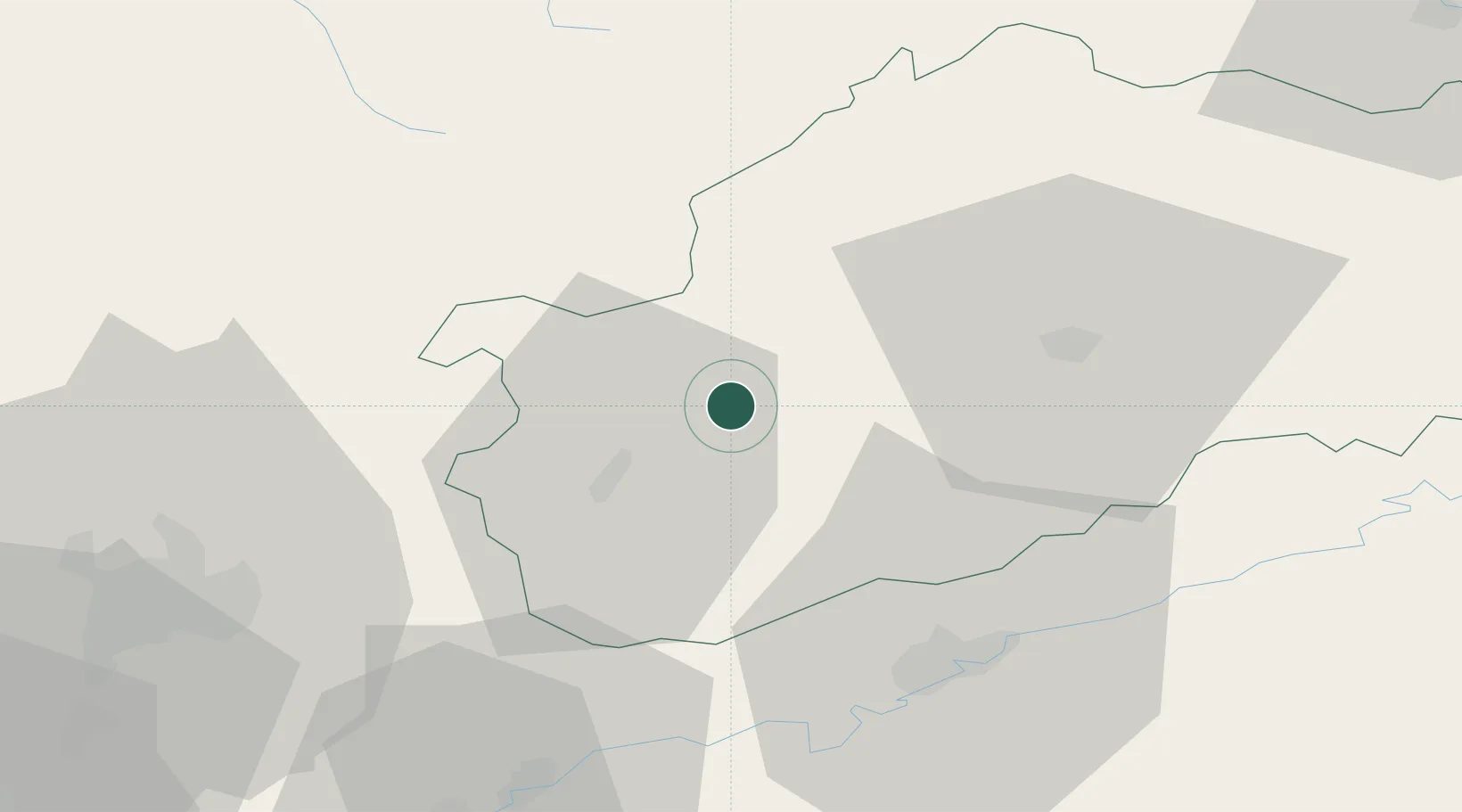
Hub Profile
Place type
Populated place
Region
Bourgogne
Population
214
Time zone
Europe/Paris
Elevation
209 m
Location
Nearby Logistics Neighbours
Cities
- 1Vereux10 km
- 2Soing-Cubry-Charentenay11 km
- 3Noidans-le-Ferroux15 km
- 4Arc-lès-Gray17 km
- 5Charcenne21 km
Ports
- 1Bruxelles383 km
- 2Port Of Rouen405 km
- 3Ghent417 km
- 4Savona418 km
- 5Antwerpen419 km
Airports
Trade Zones
- 1ZFU Besancon40 km
- 2ZFU Chenôve65 km
- 3ZFU Montbéliard78 km
- 4ZFU Belfort80 km
- 5PESA - Port-Franc et Entrepôts de Lausanne-Chavornay SA112 km
DatabookThe Record of Consolidated Knowledge
France beyond logistics?