UN/LOCODE hub · France
FRGZX

Gardegan-et-Tourtirac

44.9000°, -0.1667°
1
Transport functions

Transport Functions

Multimodal
UN/LOCODE

Hub Profile

Region
33
GeoNames

Location

Location of FRGZX
Natural Earth 10m (public domain) · 33 · FRGZX · 44.90, -0.17GoogleOSMYandex

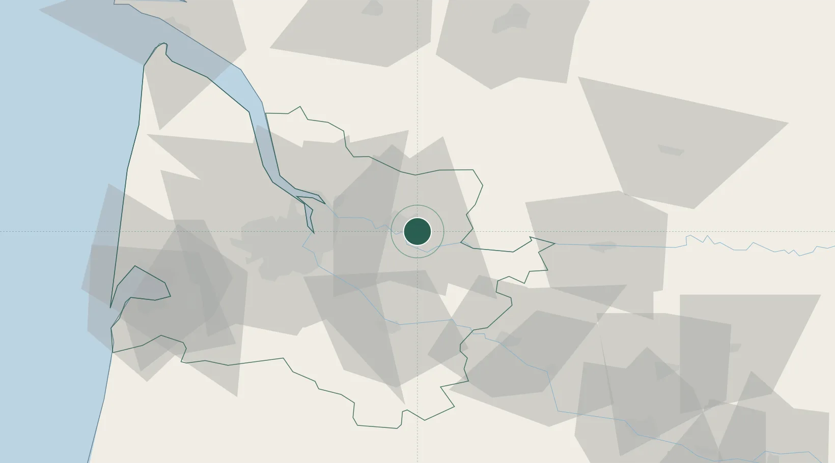
Nearby Logistics Neighbours

Cities
  1. 1Saint-Christophe-des-Bardes4 km
  2. 2Saint-Laurent-des-Combes5 km
  3. 3Vignonet6 km
  4. 4Libourne7 km
  5. 5Les Billaux8 km
Nearest neighbours — logibook spatial index (haversine) over the source coordinates
Ports
  1. 1Ambes32 km
  2. 2Bordeaux32 km
  3. 3Blaye47 km
  4. 4Pauillac57 km
  5. 5Le Verdon100 km
Nearest neighbours — logibook spatial index (haversine) over the source coordinates
Airports
  1. 1Bordeaux–Mérignac Airport44 km
  2. 2Bergerac Dordogne-Périgord airport55 km
  3. 3Aérodrome d'Arcachon-La Teste-de-Buch82 km
  4. 4Périgueux-Bassillac Airport84 km
  5. 5Cognac-Châteaubernard (BA 709) Air Base85 km
Nearest neighbours — logibook spatial index (haversine) over the source coordinates
Trade Zones
  1. 1Port de Bordeaux29 km
  2. 2ZFU Hauts de Garonne33 km
  3. 3ZFU La Rochelle162 km
  4. 4ZFU Toulouse193 km
  5. 5Depósito Franco de Pasajes (Guipúzcoa)225 km
Nearest neighbours — logibook spatial index (haversine) over the source coordinates
DatabookThe Record of Consolidated Knowledge
France beyond logistics?
Browse databook

All Sources

LocationsUN/LOCODE
UN/LOCODE — free
Portsthe NGA World Port Index
Public domain (US gov)
AirportsOurAirports
Public domain
Trade Zonesthe World Bank SEZ database
CC BY 4.0
Trade ZonesOpen Zone Map
CC BY
← France locations