Transport Functions
Multimodal
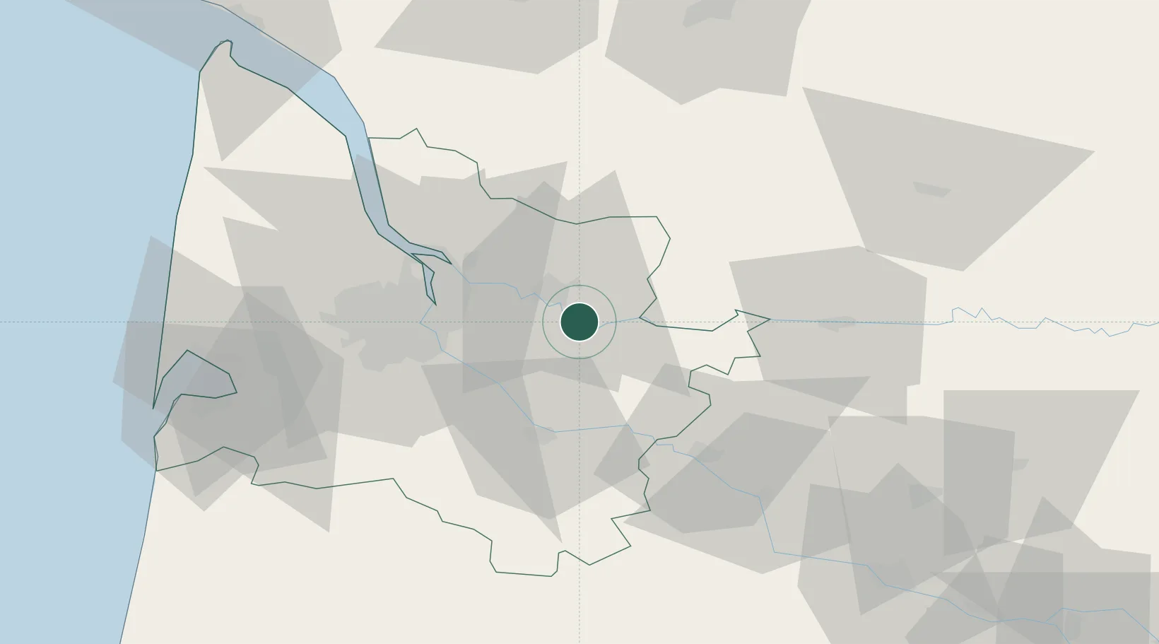
Hub Profile
Place type
Populated place
Region
Nouvelle-Aquitaine
Population
511
Time zone
Europe/Paris
Elevation
6 m
Location
Nearby Logistics Neighbours
Cities
- 1Saint-Laurent-des-Combes3 km
- 2Gardegan-et-Tourtirac6 km
- 3Saint-Christophe-des-Bardes7 km
- 4Civrac-sur-Dordogne7 km
- 5Jugazan7 km
Airports
Trade Zones
- 1Port de Bordeaux30 km
- 2ZFU Hauts de Garonne32 km
- 3ZFU La Rochelle167 km
- 4ZFU Toulouse189 km
- 5Depósito Franco de Pasajes (Guipúzcoa)220 km
DatabookThe Record of Consolidated Knowledge
France beyond logistics?