Transport Functions
Port
Hub Profile
Place type
District seat
Region
Nouvelle-Aquitaine
Population
24,240
Time zone
Europe/Paris
Elevation
12 m
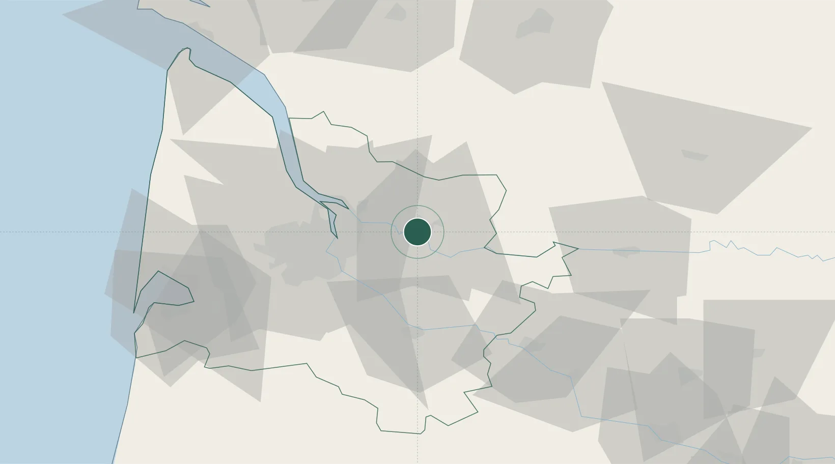
Location
Nearby Logistics Neighbours
Cities
- 1Les Billaux4 km
- 2La Rivière6 km
- 3Vayres6 km
- 4Saillans6 km
- 5Villegouge7 km
Airports
Trade Zones
- 1Port de Bordeaux23 km
- 2ZFU Hauts de Garonne28 km
- 3ZFU La Rochelle157 km
- 4ZFU Toulouse199 km
- 5Depósito Franco de Pasajes (Guipúzcoa)222 km
DatabookThe Record of Consolidated Knowledge
France beyond logistics?