UN/LOCODE hub · France
FRPHJ

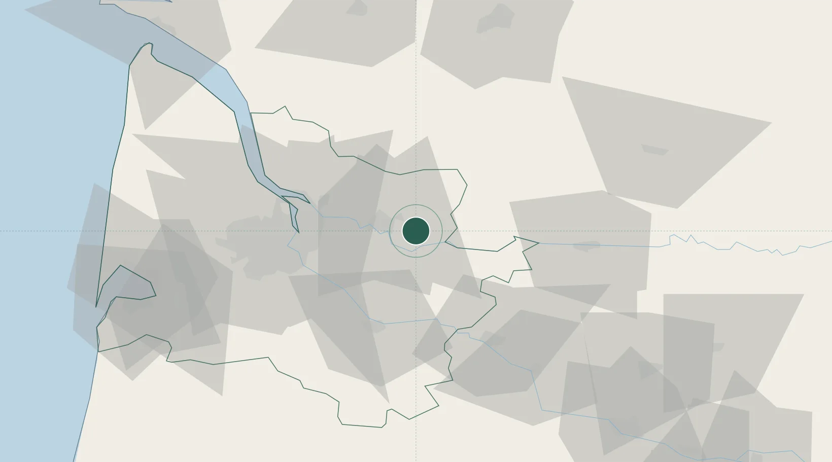
Saint-Christophe-des-Bardes

44.9000°, -0.1167°
565
Population
1
Transport functions

Transport Functions

Multimodal
UN/LOCODE

Hub Profile

Place type
Populated place
GeoNames
Region
Nouvelle-Aquitaine
GeoNames
Population
565
GeoNames
Time zone
Europe/Paris
GeoNames
Elevation
85 m
GeoNames

Location

Location of FRPHJ
Natural Earth 10m (public domain) · Nouvelle-Aquitaine · FRPHJ · 44.90, -0.12GoogleOSMYandex

Nearby Logistics Neighbours

Cities
  1. 1Saint-Laurent-des-Combes4 km
  2. 2Gardegan-et-Tourtirac4 km
  3. 3Sainte-Colombe4 km
  4. 4Saint-Magne-de-Castillon5 km
  5. 5Vignonet7 km
Nearest neighbours — logibook spatial index (haversine) over the source coordinates
Ports
  1. 1Ambes35 km
  2. 2Bordeaux36 km
  3. 3Blaye50 km
  4. 4Pauillac60 km
  5. 5Le Verdon103 km
Nearest neighbours — logibook spatial index (haversine) over the source coordinates
Airports
  1. 1Bordeaux–Mérignac Airport48 km
  2. 2Bergerac Dordogne-Périgord airport51 km
  3. 3Périgueux-Bassillac Airport80 km
  4. 4Aérodrome d'Arcachon-La Teste-de-Buch86 km
  5. 5Cognac-Châteaubernard (BA 709) Air Base86 km
Nearest neighbours — logibook spatial index (haversine) over the source coordinates
Trade Zones
  1. 1Port de Bordeaux33 km
  2. 2ZFU Hauts de Garonne37 km
  3. 3ZFU La Rochelle164 km
  4. 4ZFU Toulouse190 km
  5. 5Depósito Franco de Pasajes (Guipúzcoa)227 km
Nearest neighbours — logibook spatial index (haversine) over the source coordinates
DatabookThe Record of Consolidated Knowledge
France beyond logistics?
Browse databook

All Sources

LocationsUN/LOCODE
UN/LOCODE — free
LocationsGeoNames
CC BY 4.0
Portsthe NGA World Port Index
Public domain (US gov)
AirportsOurAirports
Public domain
Trade Zonesthe World Bank SEZ database
CC BY 4.0
Trade ZonesOpen Zone Map
CC BY
← France locations