Medium airport · France

Aérodrome d'Arcachon-La Teste-de-BuchLFCH
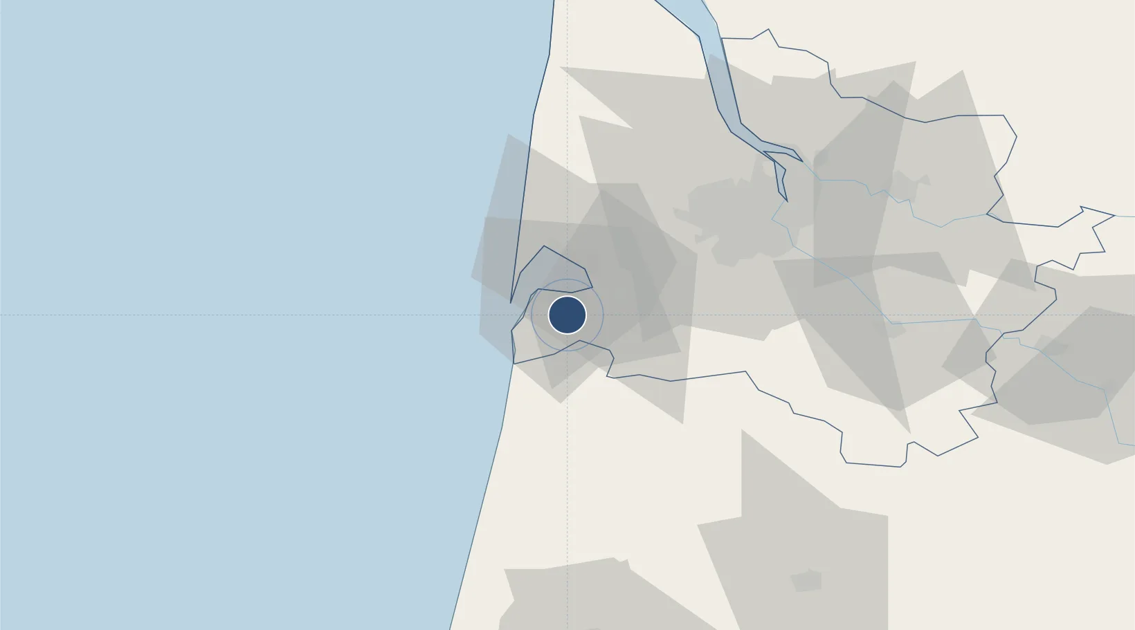
44.5964°, -1.1108°
4,416 ft
Longest runway
2
Runways
52 ft
Elevation

Runway & Layout

Aérodrome d'Arcachon-La Teste-de-Buch runway & taxiway layout
Runway & taxiway layout — OpenStreetMap (ODbL) / OurAirports

Radio Frequencies

AFIS
119.075 MHz
Arcachon Info
OurAirports

Runways · 2

RunwayDimensions SurfaceTrue headingLit
07L/25R 4,416 × 76ft Asphalt 074°
07R/25L 4,213 × 197ft Grass 074°
OurAirports

Airport Specifications

ICAO code
LFCH
OurAirports
Airport class
Medium airport
OurAirports
Scheduled service
No
OurAirports
Runway surface
Asphalt
OurAirports
Served city
Arcachon/La Teste-de-Buch
OurAirports

Location

Location of LFCH
Natural Earth 10m (public domain) · Gironde · LFCH · 44.60, -1.11GoogleOSMYandex

Nearby Logistics Neighbours

Airports
  1. 1Cazaux (BA 120) Air Base7 km
  2. 2Bordeaux–Mérignac Airport41 km
  3. 3Mont-de-Marsan (BA 118) Air Base90 km
  4. 4Royan-Médis Airport115 km
  5. 5Biarritz Pays Basque airport130 km
Nearest neighbours — logibook spatial index (haversine) over the source coordinates
Cities
  1. 1La Teste-de-Buch5 km
  2. 2La Barbotière5 km
  3. 3Gujan-Mestras5 km
  4. 4Arcachon8 km
  5. 5Le Teich9 km
Nearest neighbours — logibook spatial index (haversine) over the source coordinates
Ports
  1. 1Bordeaux52 km
  2. 2Ambes65 km
  3. 3Blaye69 km
  4. 4Pauillac73 km
  5. 5Le Verdon106 km
Nearest neighbours — logibook spatial index (haversine) over the source coordinates
Trade Zones
  1. 1ZFU Hauts de Garonne50 km
  2. 2Port de Bordeaux57 km
  3. 3Depósito Franco de Pasajes (Guipúzcoa)156 km
  4. 4ZFU La Rochelle174 km
  5. 5Depósito Franco de Bilbao209 km
Nearest neighbours — logibook spatial index (haversine) over the source coordinates
DatabookThe Record of Consolidated Knowledge
France beyond logistics?
Browse databook

All Sources

AirportsOurAirports
Public domain
Portsthe NGA World Port Index
Public domain (US gov)
LocationsUN/LOCODE
UN/LOCODE — free
Trade Zonesthe World Bank SEZ database
CC BY 4.0
Trade ZonesOpen Zone Map
CC BY
InfrastructureOpenStreetMap
ODbL 1.0
← France airports