Transport Functions
Port
Road
Hub Profile
Place type
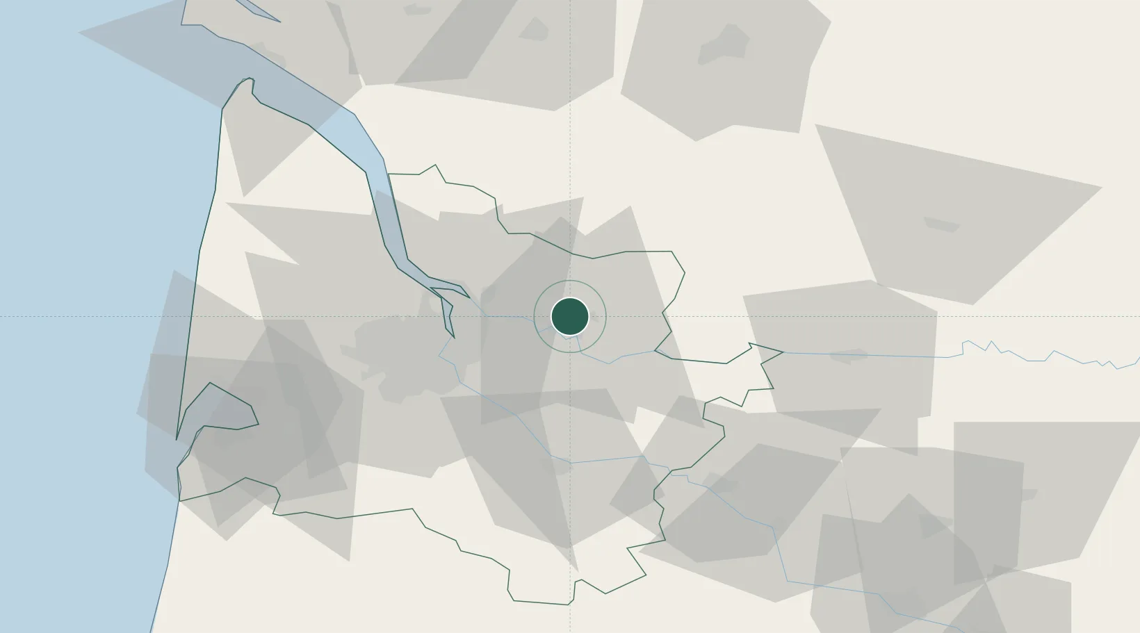
Populated place
Region
Nouvelle-Aquitaine
Population
922
Time zone
Europe/Paris
Elevation
9 m
Location
Nearby Logistics Neighbours
Cities
- 1Saillans3 km
- 2Savignac-de-l'Isle4 km
- 3Libourne4 km
- 4Villegouge6 km
- 5La Rivière7 km
Airports
Trade Zones
- 1Port de Bordeaux24 km
- 2ZFU Hauts de Garonne30 km
- 3ZFU La Rochelle155 km
- 4ZFU Toulouse200 km
- 5Depósito Franco de Pasajes (Guipúzcoa)226 km
DatabookThe Record of Consolidated Knowledge
France beyond logistics?