Transport Functions
Multimodal
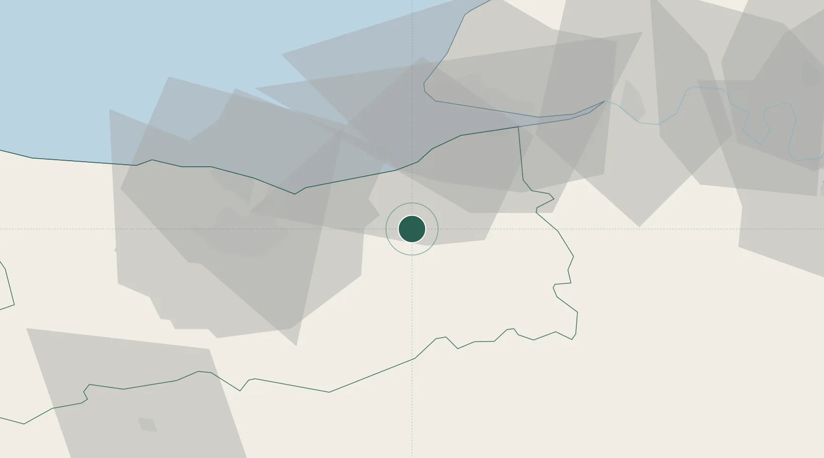
Hub Profile
Place type
Populated place
Region
Normandy
Population
95
Time zone
Europe/Paris
Elevation
104 m
Location
Nearby Logistics Neighbours
Cities
- 1Montreuil-en-Auge4 km
- 2Grandouet6 km
- 3Silly-en-Gouffern7 km
- 4Coquainvilliers12 km
- 5Tourgéville13 km
Ports
- 1Deauville19 km
- 2Ouistreham24 km
- 3Honfleur27 km
- 4Port De Caen29 km
- 5Port Of Le Havre32 km
Airports
Trade Zones
- 1ZFU Hérouville-Saint-Clair29 km
- 2ZFU La Guérinière, La Grâce de Dieu33 km
- 3ZFU Le Havre34 km
- 4ZFU Rouen Bihorel81 km
- 5ZFU Évreux82 km
DatabookThe Record of Consolidated Knowledge
France beyond logistics?