Transport Functions
Rail
Road
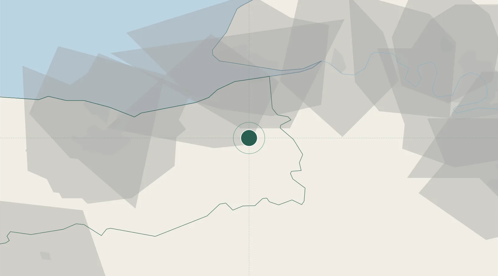
Hub Profile
Place type
Populated place
Region
Normandy
Population
810
Time zone
Europe/Paris
Elevation
49 m
Location
Nearby Logistics Neighbours
Cities
- 1Le Breuil-en-Auge4 km
- 2Hermival-les-Vaux6 km
- 3Ouilly-du-Houley9 km
- 4Silly-en-Gouffern10 km
- 5Coudray-Rabut12 km
Ports
- 1Deauville21 km
- 2Honfleur24 km
- 3Port Of Le Havre32 km
- 4Ouistreham35 km
- 5Port De Caen41 km
Airports
Trade Zones
- 1ZFU Le Havre34 km
- 2ZFU Hérouville-Saint-Clair41 km
- 3ZFU La Guérinière, La Grâce de Dieu45 km
- 4ZFU Rouen Bihorel70 km
- 5ZFU Évreux71 km
DatabookThe Record of Consolidated Knowledge
France beyond logistics?