Transport Functions
Rail
Road
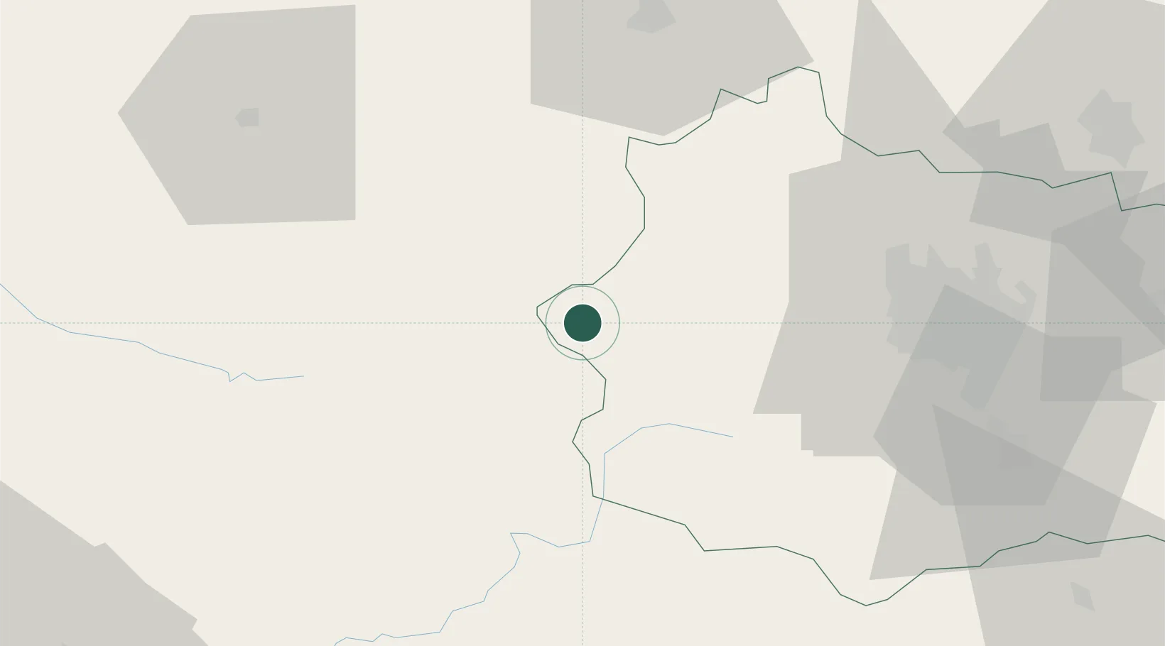
Hub Profile
Place type
Populated place
Region
Rhône-Alpes
Population
891
Time zone
Europe/Paris
Elevation
761 m
Location
Nearby Logistics Neighbours
Cities
- 1Aubusson31 km
- 2La Bourboule32 km
- 3Saint-Ours33 km
- 4Glandon36 km
- 5Mont-Dore37 km
Ports
- 1Ambes251 km
- 2Blaye257 km
- 3Bordeaux260 km
- 4Pauillac261 km
- 5Tonnay Charente262 km
Airports
- 1Montluçon-Guéret Airport48 km
- 2Clermont-Ferrand Auvergne airport53 km
- 3Vichy-Charmeil Airport82 km
- 4Aurillac airport101 km
- 5Limoges Airport101 km
Trade Zones
- 1ZFU Clermont-Ferrand46 km
- 2ZFU Bourges143 km
- 3ZFU Saint-Etienne147 km
- 4ZFU Lyon 9e180 km
- 5ZFU Vénissieux184 km
DatabookThe Record of Consolidated Knowledge
France beyond logistics?