Transport Functions
Multimodal
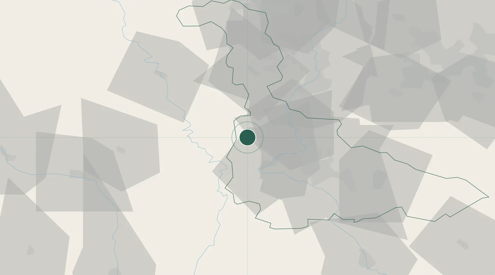
Hub Profile
Place type
Populated place
Region
Grand Est
Population
47
Time zone
Europe/Paris
Elevation
237 m
Location
Nearby Logistics Neighbours
Cities
- 1Lucey13 km
- 2Bruley13 km
- 3Blénod-lès-Pont-à-Mousson17 km
- 4Dieulouard17 km
- 5Euville18 km
Airports
Trade Zones
- 1ZFU Maxéville, Laxou, et de Nancy28 km
- 2ZFU Metz39 km
- 3ZFU Woippy-Metz42 km
- 4ZFU Saint-Dizier74 km
- 5ZFU La Cité Behren-lès-Forbach88 km
DatabookThe Record of Consolidated Knowledge
France beyond logistics?