UN/LOCODE hub · France
FRXBG

Begard

48.6333°, -3.3000°
4,779
Population
1
Transport functions

Transport Functions

Multimodal
UN/LOCODE

Hub Profile

Place type
Populated place
GeoNames
Region
Brittany
GeoNames
Population
4,779
GeoNames
Time zone
Europe/Paris
GeoNames
Elevation
145 m
GeoNames

Location

Location of FRXBG
Natural Earth 10m (public domain) · Brittany · FRXBG · 48.63, -3.30GoogleOSMYandex

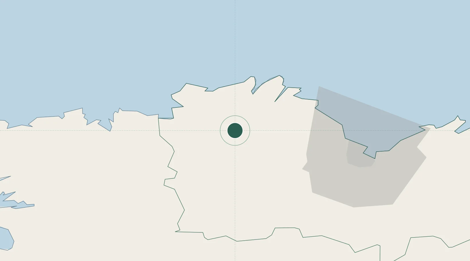
Nearby Logistics Neighbours

Cities
  1. 1Cavan5 km
  2. 2Tonquédec8 km
  3. 3Grâces11 km
  4. 4Pontrieux12 km
  5. 5Guingamp13 km
Nearest neighbours — logibook spatial index (haversine) over the source coordinates
Ports
  1. 1Pontrieux14 km
  2. 2Treguier17 km
  3. 3Lezardrieux23 km
  4. 4Paimpol25 km
  5. 5Morlaix40 km
Nearest neighbours — logibook spatial index (haversine) over the source coordinates
Airports
  1. 1Lannion Airport18 km
  2. 2Saint-Brieuc-Armor Airport35 km
  3. 3Morlaix-Ploujean Airport38 km
  4. 4Landivisiau Air Base64 km
  5. 5Brest Bretagne airport85 km
Nearest neighbours — logibook spatial index (haversine) over the source coordinates
Trade Zones
  1. 1ZFU Cherbourg-Octeville163 km
  2. 2ZFU Saint-Nazaire169 km
  3. 3ZFU Nantes et Saint-Herblain197 km
  4. 4Oceansgate Plymouth203 km
  5. 5Heart of the South West Enterprise Zone204 km
Nearest neighbours — logibook spatial index (haversine) over the source coordinates
DatabookThe Record of Consolidated Knowledge
France beyond logistics?
Browse databook

All Sources

LocationsUN/LOCODE
UN/LOCODE — free
LocationsGeoNames
CC BY 4.0
Portsthe NGA World Port Index
Public domain (US gov)
AirportsOurAirports
Public domain
Trade Zonesthe World Bank SEZ database
CC BY 4.0
Trade ZonesOpen Zone Map
CC BY
← France locations