Transport Functions
Multimodal
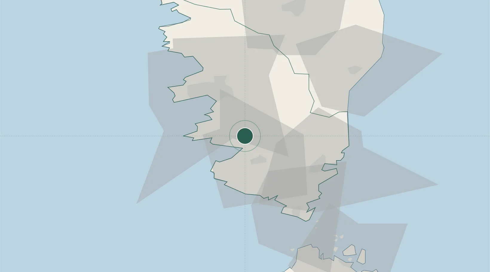
Hub Profile
Place type
Populated place
Region
Corsica
Population
189
Time zone
Europe/Paris
Elevation
610 m
Location
Nearby Logistics Neighbours
Cities
- 1Pila-Canale8 km
- 2Cognocoli8 km
- 3Propriano8 km
- 4Serra-di-Ferro11 km
- 5Grosseto-Prugna13 km
Ports
- 1Port De Propriano8 km
- 2Port D' Ajaccio24 km
- 3Porto Vecchio35 km
- 4Bonifacio45 km
- 5Maddalena72 km
Airports
Trade Zones
- 1Sardinia Special Economic Zone Area129 km
- 2ZFU LAriane260 km
- 3Free Zone of Portovesme289 km
- 4ZFU Toulon289 km
- 5ZFU La Seyne-sur-Mer294 km
DatabookThe Record of Consolidated Knowledge
France beyond logistics?