Transport Functions
Port
Rail
Hub Profile
Place type
District seat
Region
Grand Est
Population
44,311
Time zone
Europe/Paris
Elevation
155 m
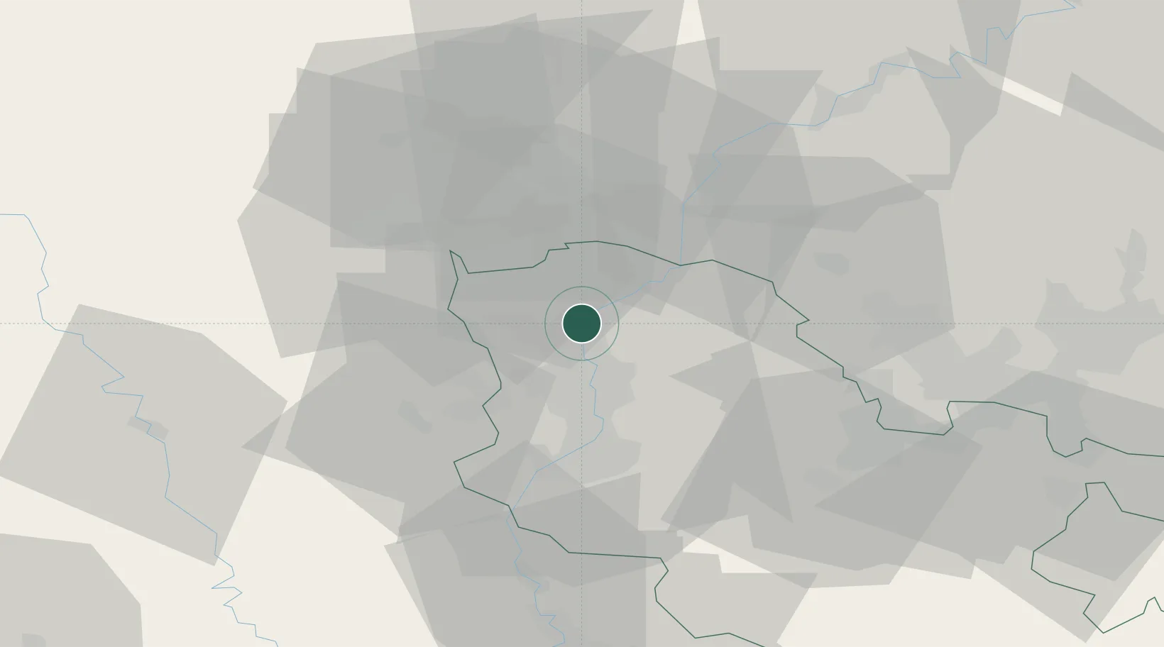
Location
Nearby Logistics Neighbours
Cities
- 1Manom2 km
- 2Illange2 km
- 3Hettange-Grande6 km
- 4Uckange6 km
- 5Richemont7 km
Airports
Trade Zones
- 1ZFU Woippy-Metz22 km
- 2ZFU Metz27 km
- 3Luxembourg Free Port32 km
- 4ZFU La Cité Behren-lès-Forbach59 km
- 5ZFU Maxéville, Laxou, et de Nancy72 km
DatabookThe Record of Consolidated Knowledge
France beyond logistics?