Transport Functions
Rail
Road
Hub Profile
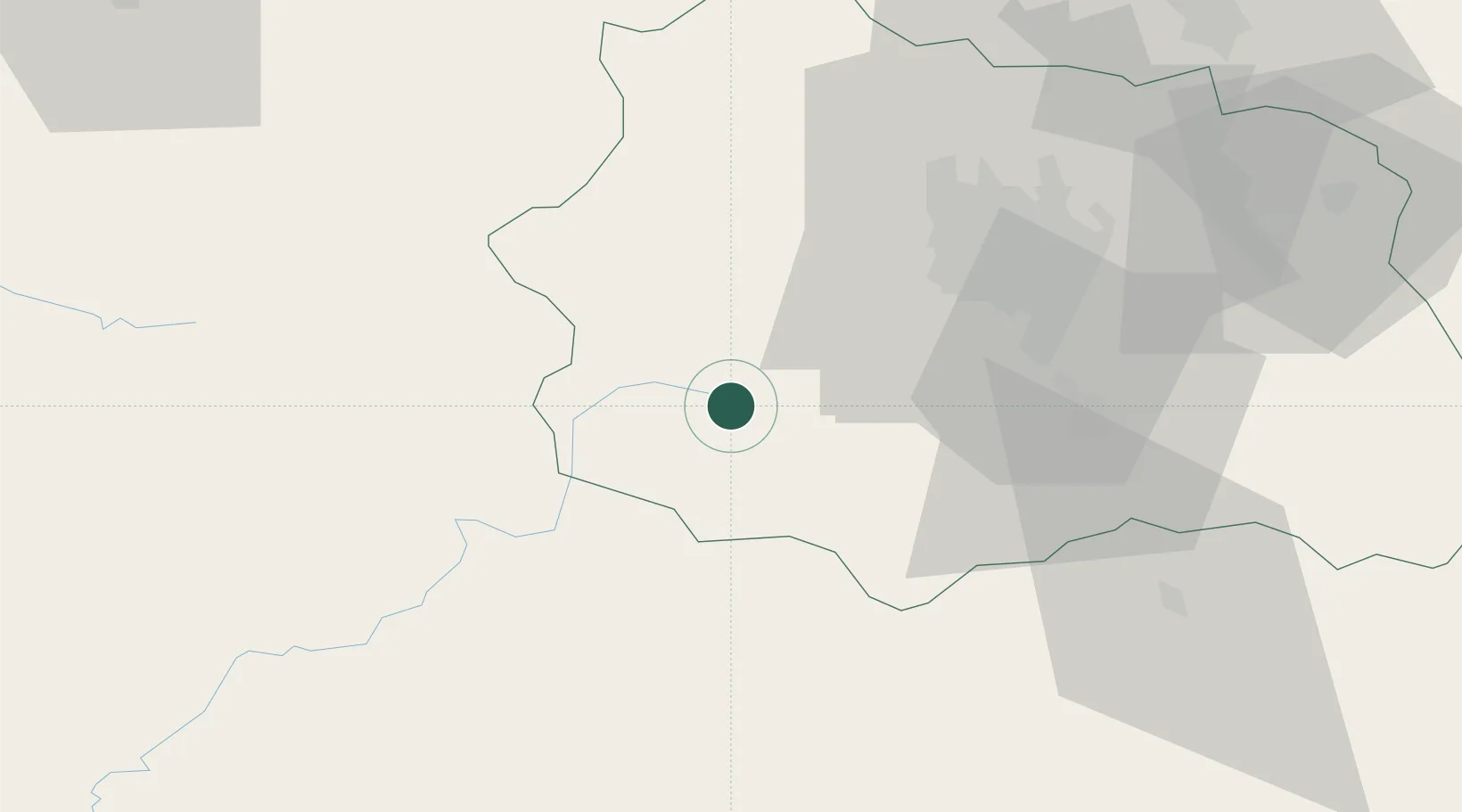
Place type
Populated place
Region
Rhône-Alpes
Population
2,162
Time zone
Europe/Paris
Elevation
855 m
Location
Nearby Logistics Neighbours
Cities
- 1Mont-Dore6 km
- 2Murol16 km
- 3Montaigut-le-Blanc27 km
- 4Marly29 km
- 5Saint-Sandoux29 km
Airports
- 1Clermont-Ferrand Auvergne airport40 km
- 2Montluçon-Guéret Airport77 km
- 3Aurillac airport81 km
- 4Vichy-Charmeil Airport83 km
- 5Le Puy-Loudes Airfield97 km
Trade Zones
- 1ZFU Clermont-Ferrand34 km
- 2ZFU Saint-Etienne122 km
- 3ZFU Lyon 9e161 km
- 4ZFU Vénissieux164 km
- 5ZFU Rillieux-la-Pape166 km
DatabookThe Record of Consolidated Knowledge
France beyond logistics?