Transport Functions
Rail
Road
Multimodal
Hub Profile
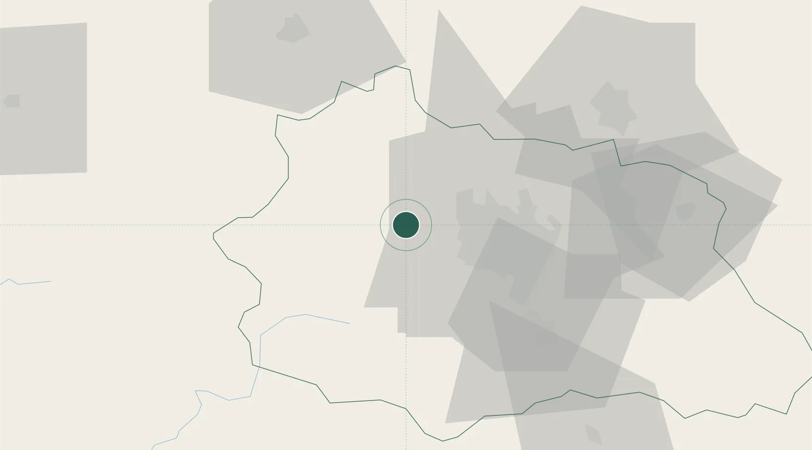
Place type
Populated place
Region
Rhône-Alpes
Population
1,425
Time zone
Europe/Paris
Elevation
812 m
Location
Nearby Logistics Neighbours
Airports
- 1Clermont-Ferrand Auvergne airport22 km
- 2Vichy-Charmeil Airport53 km
- 3Montluçon-Guéret Airport59 km
- 4Roanne-Renaison Airport88 km
- 5Saint-Yan Airport106 km
Trade Zones
- 1ZFU Clermont-Ferrand15 km
- 2ZFU Saint-Etienne118 km
- 3ZFU Bourges143 km
- 4ZFU Lyon 9e148 km
- 5ZFU Rillieux-la-Pape152 km
DatabookThe Record of Consolidated Knowledge
France beyond logistics?