Transport Functions
Port
Multimodal
Hub Profile
Region
67
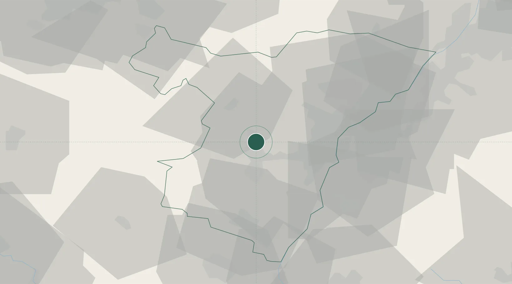
Location
Nearby Logistics Neighbours
Cities
- 1Traenheim1 km
- 2Bergbieten3 km
- 3Dahlenheim3 km
- 4Westhoffen4 km
- 5Balbronn4 km
Airports
- 1Strasbourg Airport13 km
- 2Phalsbourg-Bourscheid Air Base28 km
- 3Lahr Airport36 km
- 4Karlsruhe Baden-Baden Airport48 km
- 5Colmar Houssen airport55 km
Trade Zones
- 1ZFU Hautepierre15 km
- 2ZFU Neuhof22 km
- 3ZFU La Cité Behren-lès-Forbach75 km
- 4ZFU Mulhouse95 km
- 5ZFU Maxéville, Laxou, et de Nancy98 km
DatabookThe Record of Consolidated Knowledge
France beyond logistics?