Transport Functions
Road
Multimodal
Hub Profile
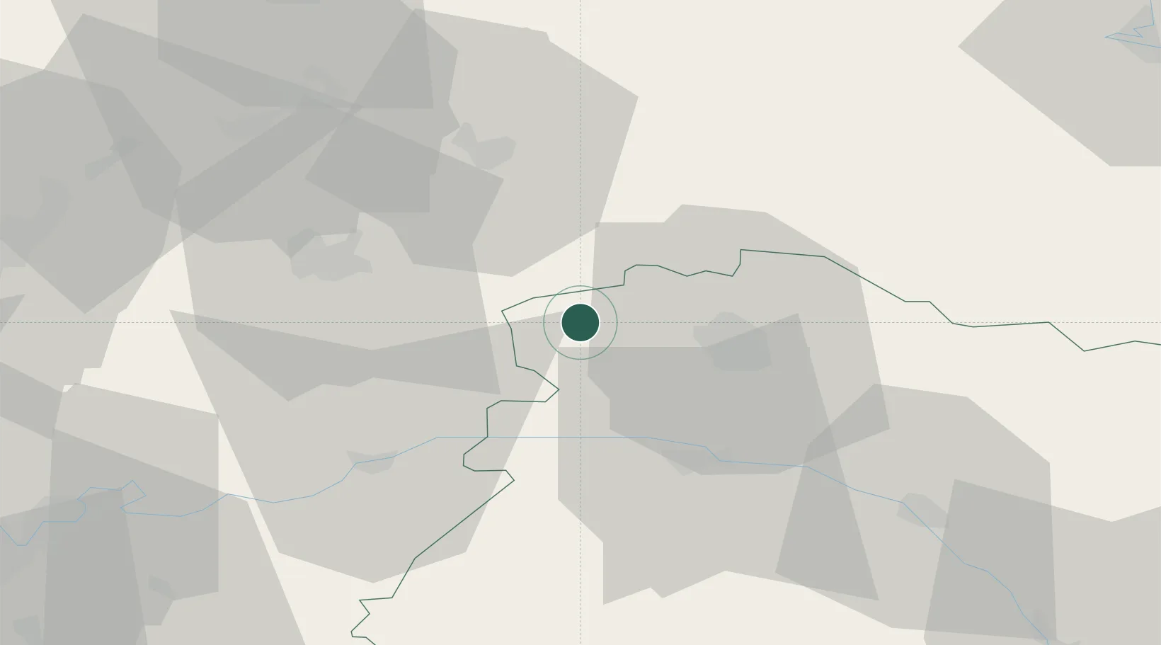
Place type
Populated place
Region
Grand Est
Population
217
Time zone
Europe/Paris
Elevation
118 m
Location
Nearby Logistics Neighbours
Cities
- 1Serzy-et-Prin4 km
- 2Prouilly5 km
- 3Faverolles-et-Coëmy6 km
- 4Germigny7 km
- 5Fismes8 km
Ports
- 1Bruxelles181 km
- 2Saint-Valery-Sur-Somme185 km
- 3Le Treport195 km
- 4Port Of Rouen198 km
- 5Ghent198 km
Airports
Trade Zones
- 1ZFU Reims15 km
- 2ZFU Presles, Chevreux36 km
- 3ZFU Meaux75 km
- 4ZFU Le Vermandois Vermand, Fayet, Artois, Champagne75 km
- 5ZFU Ronde Couture85 km
DatabookThe Record of Consolidated Knowledge
France beyond logistics?